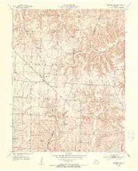
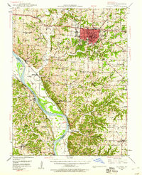
1952 Map of Prairie Home
USGS Topo · Published 1953About this map
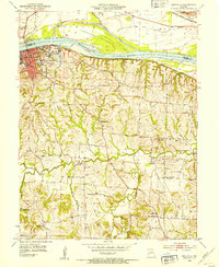
The town of Prairie Home serves as the central hub for this mid-century look at the borderlands of Cooper and Moniteau Counties. The landscape is defined by the transition from the relatively level agricultural plateaus of Prairie Home Township to the more dissected drainage basins of Wolf Creek and Splice Creek. The settlement pattern in the early 1950s reflects a deeply rooted rural community, marked by a high density of small family burial grounds and country churches like St Peters Ch and Union Ch. Evidence of changing educational infrastructure is visible in the decommissioned facilities at Cedron Sch and Felder Sch, while established hamlets such as Pleasant Grove remain focal points. The network of winding roads follows the natural topography, crossing Pisgah Creek and Howard Creek as they weave through the surrounding townships of Saline and Linn.
Find a feature on this map
22 named features on this map. Tap any name to fly to it.
Don’t see what you’re looking for? This feature index may not catch every label — zoom into the map to look around manually.
Map Details
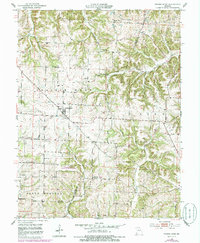
Editions of this 1952 Prairie Home Map
3 editions found
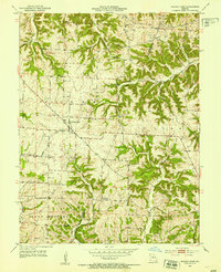
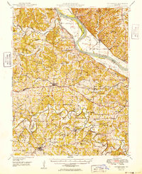
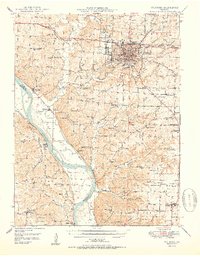
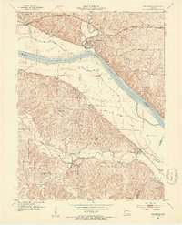
Other maps of this area

1886 · Jefferson City
USGS Topo · 1:125,000

1888 · Boonville
USGS Topo · 1:125,000

1894 · Jefferson City
USGS Topo · 1:125,000

1947 · Jefferson City
USGS Topo · 1:250,000
1948 · Centertown
USGS Topo · 1:62,500
1948 · Columbia
USGS Topo · 1:62,500
1949 · Centertown
USGS Topo · 1:62,500
1950 · Columbia
USGS Topo · 1:62,500
1952 · Rocheport
USGS Topo · 1:24,000
1952 · Boonville
USGS Topo · 1:24,000