
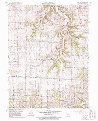
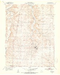
1952 Map of Lone Elm
USGS Topo · Published 1954About this map
Lone Elm and Pisgah anchor this 1950s study of central Missouri, where the landscape transitions from the open stretches of Prairie Home to the dissected drainages of Clark Fork and Panther Creek. The map provides a detailed view of rural life before the consolidation of mid-century school districts, notably marking the Jefferson Sch (Abandoned) south of the Clark Fork township boundary.
Find a feature on this map
23 named features on this map. Tap any name to fly to it.
Don’t see what you’re looking for? This feature index may not catch every label — zoom into the map to look around manually.
Map Details
Editions of this 1952 Lone Elm Map
2 editions found
Other maps of this area

1888 · Boonville
USGS Topo · 1:125,000

1947 · Jefferson City
USGS Topo · 1:250,000

1952 · Rocheport
USGS Topo · 1:24,000

1952 · Boonville
USGS Topo · 1:24,000

1952 · Tipton
USGS Topo · 1:24,000
1952 · Clarksburg
USGS Topo · 1:24,000
1952 · Prairie Home
USGS Topo · 1:24,000
1952 · California North
USGS Topo · 1:24,000

1953 · Billingsville
USGS Topo · 1:24,000
1953 · Bunceton
USGS Topo · 1:24,000