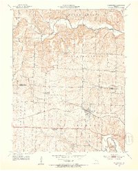
1952 Map of Clarksburg
USGS Topo · Published 1953About this map
The Missouri Pacific railroad corridor anchors this mid-century survey of Moniteau County, passing directly through the community of Clarksburg. This era represents a significant transition in the rural landscape, marked by a high concentration of schools listed as abandoned, such as Keener Sch, Gill Sch, Cross Lane Sch, and Prairie Home Sch. These closures reflect the consolidation of rural Missouri's education system during the post-war years, as smaller schoolhouses gave way to larger district facilities.
Find a feature on this map
33 named features on this map. Tap any name to fly to it.
Don’t see what you’re looking for? This feature index may not catch every label — zoom into the map to look around manually.
Map Details
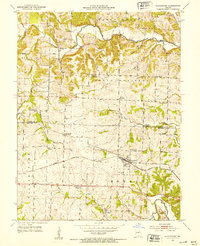
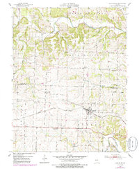
Editions of this 1952 Clarksburg Map
3 editions found
Other maps of this area

1888 · Boonville
USGS Topo · 1:125,000

1947 · Jefferson City
USGS Topo · 1:250,000

1951 · California South
USGS Topo · 1:24,000

1951 · Latham
USGS Topo · 1:24,000

1952 · Tipton
USGS Topo · 1:24,000
1952 · Fortuna
USGS Topo · 1:24,000
1952 · Prairie Home
USGS Topo · 1:24,000
1952 · California North
USGS Topo · 1:24,000

1952 · Lone Elm
USGS Topo · 1:24,000
1953 · Bunceton
USGS Topo · 1:24,000