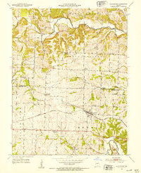
1952 Map of Clarksburg
USGS Topo · Published 1953About this map
The Missouri Pacific railroad cuts through the heart of the central Missouri landscape, anchoring the development of Clarksburg in the southern portion of this mid-century survey. While the town serves as a primary hub, the surrounding countryside is dotted with small rural landmarks including Cotton to the northwest. The map reveals a transition in rural education, specifically labeling several facilities as no longer in use, such as Keener Sch (Abandoned), Gill Sch (Abandoned), and Cross Lane Sch (Abandoned).
Find a feature on this map
34 named features on this map. Tap any name to fly to it.
Don’t see what you’re looking for? This feature index may not catch every label — zoom into the map to look around manually.
Map Details
Editions of this 1952 Clarksburg Map
3 editions found
Other maps of this area

1888 · Boonville
USGS Topo · 1:125,000

1947 · Jefferson City
USGS Topo · 1:250,000

1951 · California South
USGS Topo · 1:24,000

1951 · Latham
USGS Topo · 1:24,000

1952 · Tipton
USGS Topo · 1:24,000
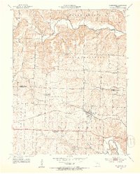
1952 · Clarksburg
USGS Topo · 1:24,000
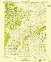
1952 · Fortuna
USGS Topo · 1:24,000
1952 · Prairie Home
USGS Topo · 1:24,000
1952 · California North
USGS Topo · 1:24,000

1952 · Lone Elm
USGS Topo · 1:24,000