
1951 Map of California South
USGS Topo · Published 1953About this map
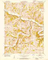
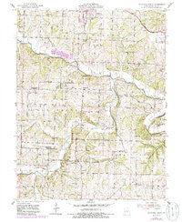
California anchors the northern edge of this mid-century landscape, where the Missouri Pacific railroad runs parallel to the headwaters of North Moreau Creek. The terrain is defined by a dense network of country schools and rural churches, many reflecting the mid-20th-century transition of the educational system, as evidenced by several labels for decommissioned institutions like Mason Sch and Sappington Sch.
Find a feature on this map
53 named features on this map. Tap any name to fly to it.
Don’t see what you’re looking for? This feature index may not catch every label — zoom into the map to look around manually.
Map Details
Editions of this 1951 California South Map
3 editions found
Other maps of this area

1886 · Jefferson City
USGS Topo · 1:125,000

1888 · Versailles
USGS Topo · 1:125,000

1888 · Tuscumbia
USGS Topo · 1:125,000

1888 · Boonville
USGS Topo · 1:125,000

1893 · Versailles
USGS Topo · 1:125,000

1894 · Tuscumbia
USGS Topo · 1:125,000

1894 · Jefferson City
USGS Topo · 1:125,000

1904 · Eldon
USGS Topo · 1:62,500

1947 · Jefferson City
USGS Topo · 1:250,000

1948 · Centertown
USGS Topo · 1:62,500