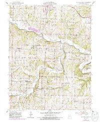
1951 Map of California South
USGS Topo · Published 1986About this map
North Moreau Creek and its many tributaries, including Burris Fork and Mineral Branch, define the rural landscape of southern California during the mid-20th century. The settlement pattern is characterized by a high density of small-scale institutions, many of which were already falling into disuse as rural populations shifted. Several educational sites are specifically noted as inactive, such as Mason Sch and Sappington Sch, indicating a period of consolidation in Moniteau County’s school districts.
Find a feature on this map
42 named features on this map. Tap any name to fly to it.
Don’t see what you’re looking for? This feature index may not catch every label — zoom into the map to look around manually.
Map Details
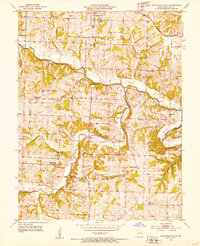
Editions of this 1951 California South Map
3 editions found

Other maps of this area

1886 · Jefferson City
USGS Topo · 1:125,000

1888 · Versailles
USGS Topo · 1:125,000

1888 · Tuscumbia
USGS Topo · 1:125,000

1888 · Boonville
USGS Topo · 1:125,000

1893 · Versailles
USGS Topo · 1:125,000

1894 · Tuscumbia
USGS Topo · 1:125,000

1894 · Jefferson City
USGS Topo · 1:125,000

1904 · Eldon
USGS Topo · 1:62,500

1947 · Jefferson City
USGS Topo · 1:250,000

1948 · Centertown
USGS Topo · 1:62,500