
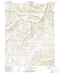
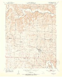
1951 Map of Latham
USGS Topo · Published 1954About this map
Latham serves as the central hub of this mid-Missouri landscape, situated where the rolling hills of the Moreau and Pilot Grove regions meet. The map reveals a high density of rural institutions that anchored the community during the early 1950s, particularly a network of local schools such as Oak Dale Sch, Hazel Dell Sch, and Pleasant Hill Sch. This distribution of one-room schoolhouses and country churches like Green Grove Ch reflects a decentralized agrarian society that relied on local neighborhood centers for education and worship. The drainage patterns are defined by the North Fork Moreau Creek and its many tributaries, including Straight Fork and Smith Creek, which dictated the early road placements and settlement locations. In the southern portion of the map, the boundary between Moniteau Co and Morgan Co is clearly delineated near the community of Burris.
Find a feature on this map
30 named features on this map. Tap any name to fly to it.
Don’t see what you’re looking for? This feature index may not catch every label — zoom into the map to look around manually.
Map Details
Editions of this 1951 Latham Map
2 editions found
Other maps of this area

1888 · Versailles
USGS Topo · 1:125,000

1888 · Boonville
USGS Topo · 1:125,000

1893 · Versailles
USGS Topo · 1:125,000

1904 · Eldon
USGS Topo · 1:62,500

1904 · Gravois Mills
USGS Topo · 1:62,500

1947 · Jefferson City
USGS Topo · 1:250,000

1949 · Gravois Mills
USGS Topo · 1:62,500

1951 · California South
USGS Topo · 1:24,000

1952 · Tipton
USGS Topo · 1:24,000
1952 · Clarksburg
USGS Topo · 1:24,000