
1952 Map of Tipton
USGS Topo · Published 1953About this map
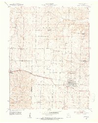
Tipton serves as a significant regional hub along the Missouri Pacific railroad during the early 1950s, anchoring a landscape where three counties meet. The map reveals a transition in rural education, marking several local schoolhouses as recently out of service, including Glendale Sch, Gilroy Sch, and Baxter Sch. North of the tracks in Tipton, the State Industrial Home for Girls occupies a prominent campus, reflecting the era's approach to social institutions. The terrain is defined by a dense network of drainage, where Smiley Creek and Willow Fork feed into larger systems like Moniteau Creek. Genealogists will find a wealth of burial sites including the Masonic Cem, Odd Fellows Cem, and the family-named Gallagher Cem, documenting the long-standing communities of the Missouri prairie.
Find a feature on this map
33 named features on this map. Tap any name to fly to it.
Don’t see what you’re looking for? This feature index may not catch every label — zoom into the map to look around manually.
Map Details
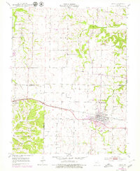
Editions of this 1952 Tipton Map
3 editions found
Other maps of this area

1888 · Boonville
USGS Topo · 1:125,000

1947 · Jefferson City
USGS Topo · 1:250,000

1951 · Latham
USGS Topo · 1:24,000
1952 · Clarksburg
USGS Topo · 1:24,000
1952 · Fortuna
USGS Topo · 1:24,000

1952 · Lone Elm
USGS Topo · 1:24,000

1953 · Pilot Grove South
USGS Topo · 1:24,000
1953 · Florence
USGS Topo · 1:24,000
1953 · Bunceton
USGS Topo · 1:24,000
1953 · Otterville East
USGS Topo · 1:24,000