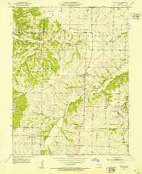
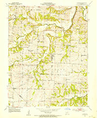
1952 Map of Fortuna
USGS Topo · Published 1953About this map
The farming community of Fortuna sits at a crossroads in the early 1950s, serving as a central point for the rural townships of Moniteau and Morgan Counties. This topographic study reveals a landscape defined by a network of one-room schoolhouses and country churches that anchored the social fabric of the era. To the west, the settlement of Aikinsville appears alongside the Aikinsville Cem, while landmarks like Reno Hill and the ridge of Pilot Grove provide significant relief against the creek bottoms. The map detail is particularly useful for genealogy, showing family-named sites such as Stone Cem and Newkirk Cem. The drainage patterns of the Willow Fork and the Moreau headwaters illustrate the typical Ozark transition terrain, where upland ridges meet narrow valley floors.
Find a feature on this map
27 named features on this map. Tap any name to fly to it.
Don’t see what you’re looking for? This feature index may not catch every label — zoom into the map to look around manually.
Map Details
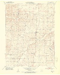
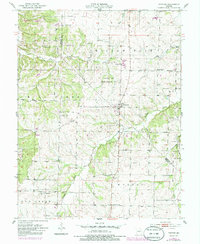
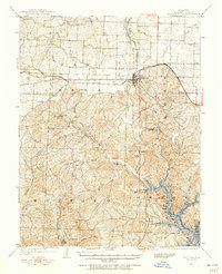
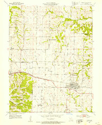
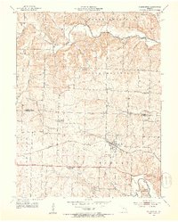
Editions of this 1952 Fortuna Map
3 editions found
Other maps of this area

1888 · Versailles
USGS Topo · 1:125,000

1888 · Boonville
USGS Topo · 1:125,000

1893 · Versailles
USGS Topo · 1:125,000

1904 · Eldon
USGS Topo · 1:62,500

1904 · Gravois Mills
USGS Topo · 1:62,500

1947 · Jefferson City
USGS Topo · 1:250,000
1949 · Gravois Mills
USGS Topo · 1:62,500
1951 · Latham
USGS Topo · 1:24,000
1952 · Tipton
USGS Topo · 1:24,000
1952 · Clarksburg
USGS Topo · 1:24,000