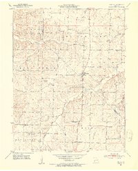
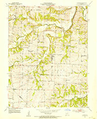
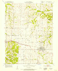
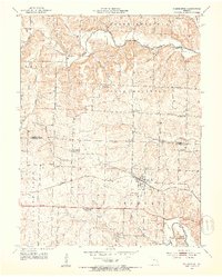
1952 Map of Fortuna
USGS Topo · Published 1953About this map
Fortuna serves as the central hub of this central Missouri landscape, situated near the boundary where Morgan and Moniteau Counties meet. The area is defined by a traditional rural settlement pattern of the early 1950s, characterized by numerous small schoolhouses and community burial grounds spaced across the undulating terrain. To the south, the village of Glensted is anchored by its namesake Glensted School, while Aikinsville sits to the west near the Aikinsville Cemetery. The drainage of the Willow Fork and Moreau rivers shapes the land, where numerous creek crossings like Little Richland Creek are marked by simple fords. This map documents a moment when local rural institutions like St Martins School and Hickory Grove School were still prominent landmarks of the social geography before mid-century consolidation changed the rural landscape.
Find a feature on this map
27 named features on this map. Tap any name to fly to it.
Don’t see what you’re looking for? This feature index may not catch every label — zoom into the map to look around manually.
Map Details
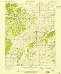
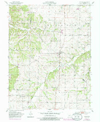
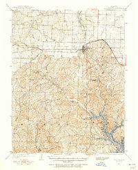
Editions of this 1952 Fortuna Map
3 editions found
Other maps of this area

1888 · Versailles
USGS Topo · 1:125,000

1888 · Boonville
USGS Topo · 1:125,000

1893 · Versailles
USGS Topo · 1:125,000

1904 · Eldon
USGS Topo · 1:62,500

1904 · Gravois Mills
USGS Topo · 1:62,500

1947 · Jefferson City
USGS Topo · 1:250,000
1949 · Gravois Mills
USGS Topo · 1:62,500
1951 · Latham
USGS Topo · 1:24,000
1952 · Tipton
USGS Topo · 1:24,000
1952 · Clarksburg
USGS Topo · 1:24,000