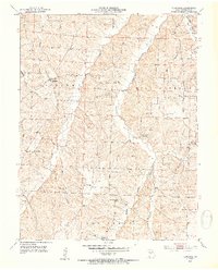
1953 Map of Florence
USGS Topo · Published 1954About this map
The settlement of Florence serves as the focal point of this mid-century Missouri landscape, where the township boundaries of Richland, Mill Creek, and Haw Creek converge. The terrain is defined by a dense network of waterways, including Richland Creek, Big Creek, and Gabriel Branch, which dictate the placement of rural roads and homesteads. Local history is deeply etched into the countryside through its many educational and religious sites, such as Mt Carmel Ch and the Self Chapel Sch.
Find a feature on this map
22 named features on this map. Tap any name to fly to it.
Don’t see what you’re looking for? This feature index may not catch every label — zoom into the map to look around manually.
Map Details
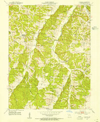
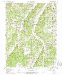
Editions of this 1953 Florence Map
3 editions found
Other maps of this area

1887 · Sedalia
USGS Topo · 1:125,000

1887 · Warsaw
USGS Topo · 1:125,000

1888 · Versailles
USGS Topo · 1:125,000

1888 · Boonville
USGS Topo · 1:125,000

1893 · Versailles
USGS Topo · 1:125,000

1894 · Warsaw
USGS Topo · 1:125,000

1894 · Sedalia
USGS Topo · 1:125,000

1904 · Gravois Mills
USGS Topo · 1:62,500

1947 · Jefferson City
USGS Topo · 1:250,000

1949 · Gravois Mills
USGS Topo · 1:62,500