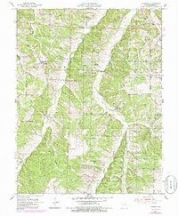
1953 Map of Florence
USGS Topo · Published 1986About this map
The settlement of Florence serves as the focal point for this mid-century Missouri landscape, where the rugged terrain is divided by the clear drainage patterns of Richland Creek and Gabriel Creek. The map reveals a rural society built around local institutions, indicated by the high density of schoolhouses and cemeteries that served dispersed farming families. While Rocky Point Sch is explicitly noted as abandoned by the 1953 field check, other sites like Lanier Sch, Bluhm Sch, and Lone Star Sch reflect the educational infrastructure of the period. Industrial presence is minimal, limited primarily to a Gravel Pit and a Pumping Sta located near a prominent Pipe Line corridor. This survey, photorevised in the 1980s, preserves the mid-century layout of Morgan County before further modern consolidation shifted these local hubs.
Find a feature on this map
27 named features on this map. Tap any name to fly to it.
Don’t see what you’re looking for? This feature index may not catch every label — zoom into the map to look around manually.
Map Details
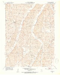
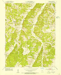
Editions of this 1953 Florence Map
3 editions found
Other maps of this area

1887 · Sedalia
USGS Topo · 1:125,000

1887 · Warsaw
USGS Topo · 1:125,000

1888 · Versailles
USGS Topo · 1:125,000

1888 · Boonville
USGS Topo · 1:125,000

1893 · Versailles
USGS Topo · 1:125,000

1894 · Warsaw
USGS Topo · 1:125,000

1894 · Sedalia
USGS Topo · 1:125,000

1904 · Gravois Mills
USGS Topo · 1:62,500

1947 · Jefferson City
USGS Topo · 1:250,000

1949 · Gravois Mills
USGS Topo · 1:62,500