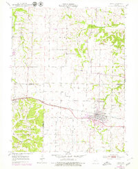
1952 Map of Tipton
USGS Topo · Published 1979About this map
Tipton sits at the heart of this mid-Missouri landscape, serving as a vital rail hub where the Missouri Pacific railroad cuts a straight line across the prairie. The town's significance in the late 1940s and early 1950s is underscored by the presence of the State Industrial Home for Girls and an array of civic markers, from the Fairground and Masonic Cemetery to the Odd Fellows Cemetery.
Find a feature on this map
28 named features on this map. Tap any name to fly to it.
Don’t see what you’re looking for? This feature index may not catch every label — zoom into the map to look around manually.
Map Details
Editions of this 1952 Tipton Map
3 editions found
Other maps of this area

1888 · Boonville
USGS Topo · 1:125,000

1947 · Jefferson City
USGS Topo · 1:250,000

1951 · Latham
USGS Topo · 1:24,000

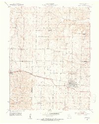
1952 · Tipton
USGS Topo · 1:24,000
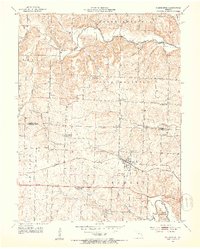
1952 · Clarksburg
USGS Topo · 1:24,000
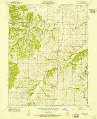
1952 · Fortuna
USGS Topo · 1:24,000

1952 · Lone Elm
USGS Topo · 1:24,000

1953 · Pilot Grove South
USGS Topo · 1:24,000
1953 · Florence
USGS Topo · 1:24,000
1953 · Bunceton
USGS Topo · 1:24,000