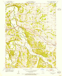
1953 Map of Otterville East
USGS Topo · Published 1954About this map
The Lamine River and its major tributaries, Otter Creek and Flat Creek, dominate this central Missouri landscape at the border of Cooper and Morgan counties. Published from a 1952–1953 field check, the map shows the mid-century agricultural character of Lebanon and Richland townships. The Missouri Pacific railroad cuts through the center of the sheet, providing a vital transportation link for the towns of Otterville and Syracuse.
Find a feature on this map
22 named features on this map. Tap any name to fly to it.
Don’t see what you’re looking for? This feature index may not catch every label — zoom into the map to look around manually.
Map Details
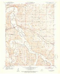
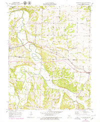
Editions of this 1953 Otterville East Map
3 editions found
Other maps of this area

1887 · Sedalia
USGS Topo · 1:125,000

1888 · Boonville
USGS Topo · 1:125,000

1894 · Sedalia
USGS Topo · 1:125,000

1947 · Jefferson City
USGS Topo · 1:250,000

1952 · Tipton
USGS Topo · 1:24,000
1952 · Fortuna
USGS Topo · 1:24,000

1953 · Pilot Grove South
USGS Topo · 1:24,000
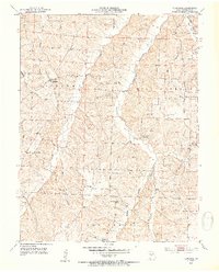
1953 · Florence
USGS Topo · 1:24,000
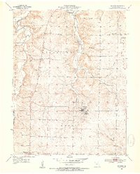
1953 · Bunceton
USGS Topo · 1:24,000
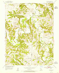
1953 · Clifton City
USGS Topo · 1:24,000