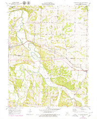
1953 Map of Otterville East
USGS Topo · Published 1979About this map
Otterville and Syracuse anchor this mid-century Missouri landscape, where the Missouri Pacific railroad corridor cuts a straight line through the rolling creek valleys of Cooper and Morgan counties. The terrain is defined by a dense network of waterways including the Lamine River, Otter Creek, and Flat Creek, which shaped the early settlement patterns of Otterville, Lebanon, and Richland townships. Local family and community heritage is evident in the placement of rural landmarks like Antioch Cemetery and Mt Olive Church. While the railroad provided a primary industrial link for transporting agricultural goods, the map also captures the intricate web of secondary roads connecting outlying farms to the town centers. Revisions from the late 1970s appear in purple, highlighting the gradual evolution of rural infrastructure and residential clusters over several decades.
Find a feature on this map
26 named features on this map. Tap any name to fly to it.
Don’t see what you’re looking for? This feature index may not catch every label — zoom into the map to look around manually.
Map Details
Editions of this 1953 Otterville East Map
3 editions found
Other maps of this area

1887 · Sedalia
USGS Topo · 1:125,000

1888 · Boonville
USGS Topo · 1:125,000

1894 · Sedalia
USGS Topo · 1:125,000

1947 · Jefferson City
USGS Topo · 1:250,000

1952 · Tipton
USGS Topo · 1:24,000
1952 · Fortuna
USGS Topo · 1:24,000

1953 · Pilot Grove South
USGS Topo · 1:24,000
1953 · Florence
USGS Topo · 1:24,000
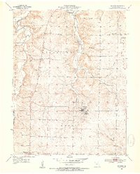
1953 · Bunceton
USGS Topo · 1:24,000
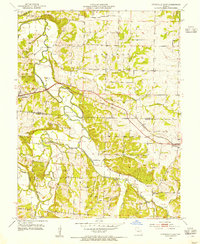
1953 · Otterville East
USGS Topo · 1:24,000