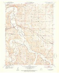
1953 Map of Otterville East
USGS Topo · Published 1954About this map
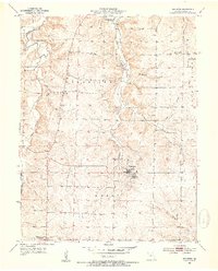
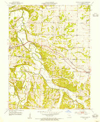
The Missouri Pacific railroad serves as a central artery through this Central Missouri landscape, connecting the town of Otterville in the west to Syracuse in the east. This mid-century survey captures a rural environment defined by its watercourses, where the Lamine River and Flat Creek converge amidst several named valleys including Lebanon, Richland, and Mill Creek.
Find a feature on this map
24 named features on this map. Tap any name to fly to it.
Don’t see what you’re looking for? This feature index may not catch every label — zoom into the map to look around manually.
Map Details
Editions of this 1953 Otterville East Map
3 editions found
Other maps of this area

1887 · Sedalia
USGS Topo · 1:125,000

1888 · Boonville
USGS Topo · 1:125,000

1894 · Sedalia
USGS Topo · 1:125,000

1947 · Jefferson City
USGS Topo · 1:250,000

1952 · Tipton
USGS Topo · 1:24,000
1952 · Fortuna
USGS Topo · 1:24,000

1953 · Pilot Grove South
USGS Topo · 1:24,000
1953 · Florence
USGS Topo · 1:24,000
1953 · Bunceton
USGS Topo · 1:24,000
1953 · Otterville East
USGS Topo · 1:24,000