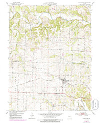
1952 Map of Clarksburg
USGS Topo · Published 1986About this map
Clarksburg stands as a central hub on this Moniteau County landscape, established along the Missouri Pacific railroad corridor. The area displays a dense network of rural infrastructure from the mid-20th century, particularly evident in the transition from active settlement to shifting community centers. A notable concentration of defunct rural institutions, such as Prairie Home Sch, Gill Sch, and Keener Sch, suggests a period of school consolidation that fundamentally altered the local social geography. The terrain is defined by the winding course of Moniteau Creek and its many tributaries, including Hadley Branch and Camp Branch. Smaller locales like Cotton and several family-named landmarks, such as the Sappington Cem and Renshaw Cem, provide specific points of interest for those tracing family history or the early agricultural development of the region.
Find a feature on this map
37 named features on this map. Tap any name to fly to it.
Don’t see what you’re looking for? This feature index may not catch every label — zoom into the map to look around manually.
Map Details
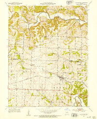
Editions of this 1952 Clarksburg Map
3 editions found
Other maps of this area

1888 · Boonville
USGS Topo · 1:125,000

1947 · Jefferson City
USGS Topo · 1:250,000

1951 · California South
USGS Topo · 1:24,000

1951 · Latham
USGS Topo · 1:24,000

1952 · Tipton
USGS Topo · 1:24,000
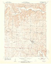
1952 · Clarksburg
USGS Topo · 1:24,000
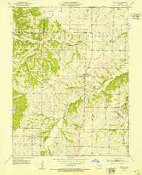
1952 · Fortuna
USGS Topo · 1:24,000
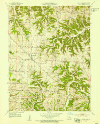
1952 · Prairie Home
USGS Topo · 1:24,000
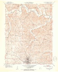
1952 · California North
USGS Topo · 1:24,000

1952 · Lone Elm
USGS Topo · 1:24,000