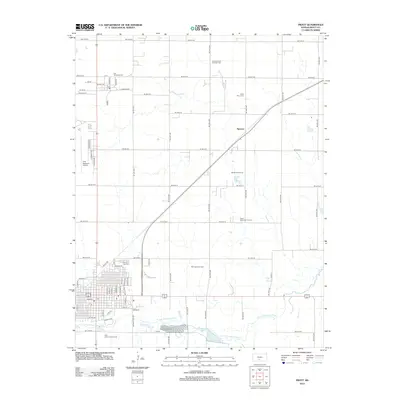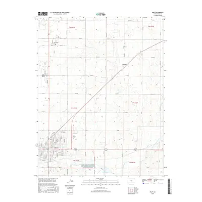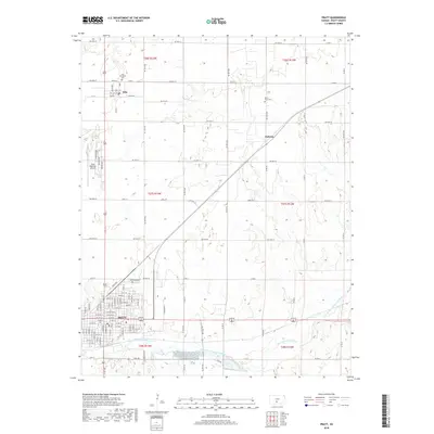
1968 Map of Pratt
USGS Topo · Published 1969About this map
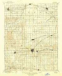
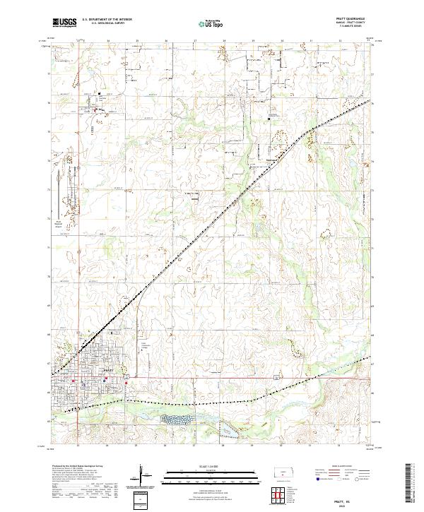
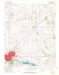
The South Fork Ninnescah River valley anchors this late 1960s study of central Kansas, where the city of Pratt serves as a regional hub for transportation and industry. The landscape is defined by the intersection of the Chicago Rock Island and Pacific and the Atchison Topeka and Santa Fe railroads, reflecting the area's importance as a rail crossroads. To the south of the city, the State Fish Hatchery and Pratt County Lake indicate significant water management and conservation efforts in the river basin.
Find a feature on this map
44 named features on this map. Tap any name to fly to it.
Don’t see what you’re looking for? This feature index may not catch every label — zoom into the map to look around manually.
Map Details
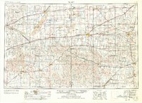
Editions of this 1968 Pratt Map
This is the sole edition of this map. No revisions or reprints were ever made.
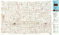
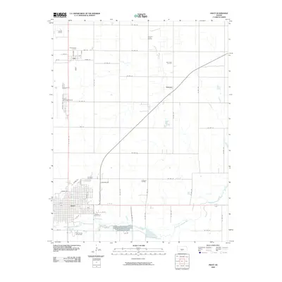
Historical Maps of Pratt Through Time
11 maps found