Loading...
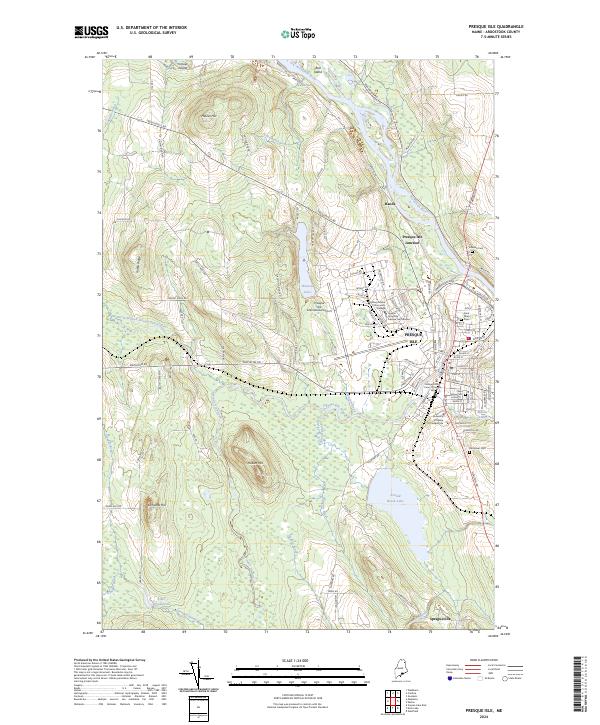
Loading map...2024 Map of Presque Isle
USGS Topo · Published 2024About this map
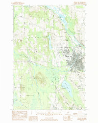
Presque Isle serves as the focal point of this northern Maine landscape, where the Aroostook River curves past established neighborhoods and industrial centers. The map documents a significant educational and civic hub, featuring the University of Maine at Presque Isle, Northern Maine Community College, and the sprawling grounds of the Presque Isle International Airport.
Find a feature on this map
104 named features on this map. Tap any name to fly to it.
Don’t see what you’re looking for? This feature index may not catch every label — zoom into the map to look around manually.
Map Details
Date Portrayed2024
Date Published2024
PublisherU.S. Geological Survey
Map TypeTopographic
Scale1:24000
Physical Dimensions24 x 29 inches
Editions of this 2024 Presque Isle Map
This is the sole edition of this map. No revisions or reprints were ever made.
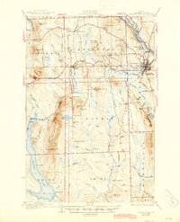
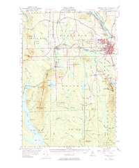
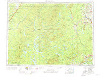
Historical Maps of Presque Isle Through Time
8 maps found


Featured Locations
Source Details
SourceU.S. Geological Survey
CopyrightPublic Domain