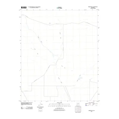
2010 Map of Prisor Hill
USGS Topo · Published 2010About this map
Prisor Hill rises over a sparse landscape of drainages and seasonal water features in the Jornada del Muerto region of New Mexico. This 2010 survey shows a network of ephemeral watercourses including Aleman Draw and Yoast Draw, which cut through the arid terrain. The mapping reflects the essential infrastructure of ranching and land management in the high desert, evidenced by localized water catchments like East Tank Number 3. Transportation in this part of Sierra County is defined by remote thoroughfares such as County Rd-A021, which traverses the northern reaches of the quadrangle. The map documents the persistent drainage patterns of the Jornada Draw and Lyons Draw, illustrating how the desert floor is shaped by occasional runoff in an otherwise dry environment.
Find a feature on this map
8 named features on this map. Tap any name to fly to it.
Don’t see what you’re looking for? This feature index may not catch every label — zoom into the map to look around manually.
Map Details
Editions of this 2010 Prisor Hill Map
This is the sole edition of this map. No revisions or reprints were ever made.
Other maps of this area

1916 · Tonuco
USGS Topo · 1:125,000

1916 · Salinas Peak
USGS Topo · 1:125,000

1932 · Tonuco
USGS Topo · 1:125,000

1948 · Sowell
USGS Topo · 1:62,500

1948 · Chicken Well
USGS Topo · 1:62,500

1954 · Tularosa
USGS Topo · 1:250,000

1955 · Las Cruces
USGS Topo · 1:250,000

1958 · Las Cruces
USGS Topo · 1:250,000

1958 · Tularosa
USGS Topo · 1:250,000

1959 · Engle
USGS Topo · 1:62,500