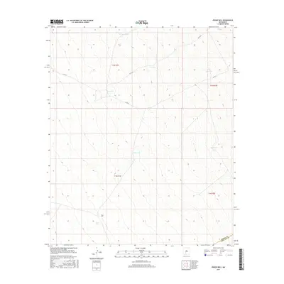
2017 Map of Prisor Well
USGS Topo · Published 2017About this map
Prisor Well and the surrounding desert landscape of southern New Mexico are defined by a critical network of water infrastructure in a high-arid environment. This 2017 study illustrates the reliance on tanks for range management, including Martin Tank, CCC Tank, and Hidden Tank, which are scattered across the township boundaries of T15S and T16S. The topography is influenced by Lyons Draw, a natural drainage feature that shapes the local relief.
Find a feature on this map
16 named features on this map. Tap any name to fly to it.
Don’t see what you’re looking for? This feature index may not catch every label — zoom into the map to look around manually.
Map Details
Editions of this 2017 Prisor Well Map
This is the sole edition of this map. No revisions or reprints were ever made.
Other maps of this area

1916 · Tonuco
USGS Topo · 1:125,000

1916 · Salinas Peak
USGS Topo · 1:125,000

1932 · Tonuco
USGS Topo · 1:125,000

1948 · Sowell
USGS Topo · 1:62,500

1948 · Chicken Well
USGS Topo · 1:62,500

1948 · Kaylor Mountain
USGS Topo · 1:62,500

1948 · Black Top Mountain
USGS Topo · 1:62,500

1954 · Tularosa
USGS Topo · 1:250,000

1955 · Las Cruces
USGS Topo · 1:250,000

1958 · Las Cruces
USGS Topo · 1:250,000