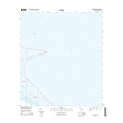
2015 Map of Proctor Point
USGS Topo · Published 2015About this map
Proctor Point reaches into the open waters of Lake Borgne and the Gulf of Mexico, defining a coastal landscape where the land dissolves into a network of tidal waterways. This 2015 survey by the U.S. Geological Survey documents the intricate hydrology of St. Bernard Parish, dominated by the massive Mississippi River-Gulf Outlet Canal cutting through the southern marshland. The area is defined by its numerous small channels such as Stump Bayou, Flat Bayou, and Bayou Louis, which snake through the wetlands south of the point. These features illustrate the shifting, water-dominated geography of the Mississippi Delta, providing a detailed record of the shoreline and maritime infrastructure, including Fort Bayou and Flagpole Bayou, in the early 21st century.
Find a feature on this map
24 named features on this map. Tap any name to fly to it.
Don’t see what you’re looking for? This feature index may not catch every label — zoom into the map to look around manually.
Map Details
Editions of this 2015 Proctor Point Map
This is the sole edition of this map. No revisions or reprints were ever made.
Other maps of this area

1892 · Chef Menteur
USGS Topo · 1:62,500

1892 · St. Bernard
USGS Topo · 1:62,500

1893 · Rigolets
USGS Topo · 1:62,500

1893 · Shell Beach
USGS Topo · 1:62,500

1935 · Delacroix
USGS Topo · 1:31,680

1936 · Chef Menteur
USGS Topo · 1:62,500

1936 · Rigolets
USGS Topo · 1:62,500

1937 · Chef Menteur
USGS Topo · 1:31,680

1939 · Shell Beach
USGS Topo · 1:62,500
1941 · Delacroix
USGS Topo · 1:31,680