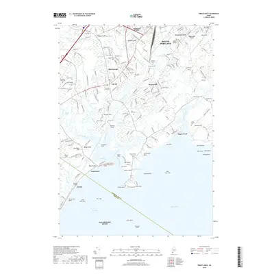
2018 Map of Prouts Neck
USGS Topo · Published 2018About this map
Scarborough Marshes dominate the western coastal landscape, where the Scarborough River meets the sea near Pine Point. This 2018 survey reveals a complex network of coastal settlements and family legacies preserved in numerous small burial grounds, such as Libby Cem, Harty Cem, and the Major John Waterhouse Cem near Scottow Hill. The interior is defined by established neighborhoods like Oak Hill and Eight Corners, while the coastline transitions from the broad sands of Old Orchard Beach to the rocky points of Prouts Neck and East Point. The southern portion of South Portland is also visible, featuring residential developments like Sunset Park and Stanwood Park near the Nonesuch River. Land use patterns here balance tidal estuaries and brooks, such as Mill Brook and Jones Creek, with significant local landmarks including Highland Memorial Gardens.
Find a feature on this map
191 named features on this map. Tap any name to fly to it.
Don’t see what you’re looking for? This feature index may not catch every label — zoom into the map to look around manually.
Map Details
Editions of this 2018 Prouts Neck Map
This is the sole edition of this map. No revisions or reprints were ever made.
Other maps of this area

1891 · Portland
USGS Topo · 1:62,500

1891 · Biddeford
USGS Topo · 1:62,500

1893 · Biddeford
USGS Topo · 1:62,500

1893 · Portland
USGS Topo · 1:62,500

1893 · Casco Bay
USGS Topo · 1:62,500

1914 · Portland
USGS Topo · 1:48,000

1914 · Casco Bay
USGS Topo · 1:48,000

1916 · Portland
USGS Topo · 1:62,500

1916 · Casco Bay
USGS Topo · 1:62,500

1916 · Portland And Vicinity
USGS Topo · 1:62,500