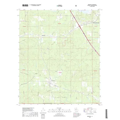
2018 Map of Provencal
USGS Topo · Published 2018About this map
Provencal serves as the primary hub of this 2018 survey, where the local grid is defined by North Blvd, Main St, and the intersection of various parish roads. The landscape transition from the small rural centers of Hagewood and Victoria into the protected timberlands of the Kisatchie National Forest in the south is clearly delineated. A network of bayous and branches, including the winding Bayou Provencal and Bayou Serpent, crisscrosses the terrain, indicating a complex hydrology typical of the Natchitoches Parish area. Genealogists will find a wealth of family and community history preserved here, with several significant burial sites such as Shiloh Cem, Hawthorne Cems, and the Vascocu Cem situated throughout the quadrangle, often near the old road traces like Old State Hwy 6 and Big Hill Fire Tower Rd.
Find a feature on this map
79 named features on this map. Tap any name to fly to it.
Don’t see what you’re looking for? This feature index may not catch every label — zoom into the map to look around manually.
Map Details
Editions of this 2018 Provencal Map
This is the sole edition of this map. No revisions or reprints were ever made.
Other maps of this area

1935 · Hagewood
USGS Topo · 1:31,680

1937 · Bermuda
USGS Topo · 1:31,680

1937 · Campti SE
USGS Topo · 1:31,680

1937 · Bellwood
USGS Topo · 1:31,680

1937 · Campti SW
USGS Topo · 1:31,680

1937 · Cypress
USGS Topo · 1:31,680

1938 · Allen
USGS Topo · 1:31,680

1942 · Many
USGS Topo · 1:62,500

1943 · Many
USGS Topo · 1:62,500

1943 · Provencal
USGS Topo · 1:62,500