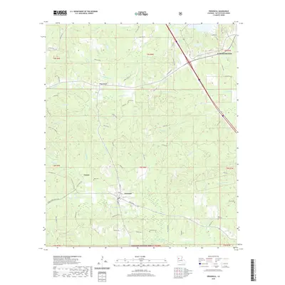
2020 Map of Provencal
USGS Topo · Published 2020About this map
Provencal serves as a central hub in this Natchitoches Parish landscape, where the local road network of Main St and DeSoto Rd converges near the southern reaches of the Kisatchie National Forest. The geography is defined by a dense network of watercourses, including Bayou Provencal, Bayou Serpent, and Madden Bayou, which drain the timbered uplands and bottomlands. Evidence of long-standing community life is visible in the scattered placement of family and church burial grounds such as Shiloh Cem, Martin Cem, and Hawthorne Cem. North of the village of Victoria, the terrain is marked by winding routes like Big Hill Fire Tower Rd, while the northern portion of the map shows the transition toward Hagewood and the outskirts of Natchitoches. The map documents a rural Louisiana environment where parish roads follow the natural contours of the bayous and creeks.
Find a feature on this map
83 named features on this map. Tap any name to fly to it.
Don’t see what you’re looking for? This feature index may not catch every label — zoom into the map to look around manually.
Map Details
Editions of this 2020 Provencal Map
This is the sole edition of this map. No revisions or reprints were ever made.
Other maps of this area

1935 · Hagewood
USGS Topo · 1:31,680

1937 · Bermuda
USGS Topo · 1:31,680

1937 · Campti SE
USGS Topo · 1:31,680

1937 · Bellwood
USGS Topo · 1:31,680

1937 · Campti SW
USGS Topo · 1:31,680

1937 · Cypress
USGS Topo · 1:31,680

1938 · Allen
USGS Topo · 1:31,680

1942 · Many
USGS Topo · 1:62,500

1943 · Many
USGS Topo · 1:62,500

1943 · Provencal
USGS Topo · 1:62,500