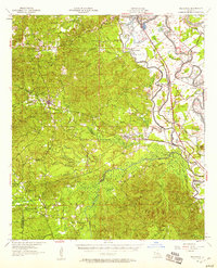
1957 Map of Provencal
USGS Topo · Published 1958About this map
The town of Provencal and the winding Cane River Lake anchor this mid-century survey of the central Louisiana lowlands. The landscape transitions from the managed timberlands of the Kisatchie National Forest in the south and west to the fertile alluvial plains of the Red River valley in the northeast. Transportation and education are central to the region's character, with the Texas and Pacific railroad corridor connecting small communities like Flora (Weaver Sta) and Cypress, while Northwestern State College sits just outside the historical hub of Natchitoches.
Find a feature on this map
84 named features on this map. Tap any name to fly to it.
Don’t see what you’re looking for? This feature index may not catch every label — zoom into the map to look around manually.
Map Details
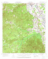
Editions of this 1957 Provencal Map
2 editions found
Other maps of this area

1935 · Hagewood
USGS Topo · 1:31,680

1937 · Bermuda
USGS Topo · 1:31,680

1937 · Campti SE
USGS Topo · 1:31,680

1937 · Chopin NW
USGS Topo · 1:31,680

1937 · Bellwood
USGS Topo · 1:31,680

1937 · Montgomery
USGS Topo · 1:62,500

1937 · Campti SW
USGS Topo · 1:31,680

1937 · Cloutierville
USGS Topo · 1:31,680

1937 · Cypress
USGS Topo · 1:31,680

1938 · Allen
USGS Topo · 1:31,680