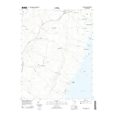
2014 Map of Public Landing
USGS Topo · Published 2014About this map
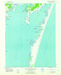
Chincoteague Bay dominates the eastern edge of this Worcester County landscape, where tidal creeks like Robins Creek and Cotter Creek reach inland toward small agricultural settlements. The transition from the swampy reaches of the Pocomoke River in the west to the bayfront is marked by numerous family-named landings and points, including Langmaid Landing, Mason Landing, and Harmon Landing. These sites, along with Public Landing, reflect a long history of maritime access and coastal commerce on the Delmarva Peninsula.
Find a feature on this map
85 named features on this map. Tap any name to fly to it.
Don’t see what you’re looking for? This feature index may not catch every label — zoom into the map to look around manually.
Map Details
Editions of this 2014 Public Landing Map
This is the sole edition of this map. No revisions or reprints were ever made.
Other maps of this area

1901 · Snow Hill
USGS Topo · 1:62,500
1901 · Green Run
USGS Topo · 1:62,500
1901 · Ocean City
USGS Topo · 1:62,500

1902 · Pittsville
USGS Topo · 1:62,500
1938 · Green Run
USGS Topo · 1:62,500
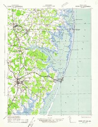
1942 · Ocean City
USGS Topo · 1:62,500
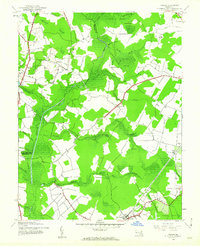
1942 · Ninepin
USGS Topo · 1:24,000
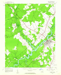
1942 · Snow Hill
USGS Topo · 1:24,000
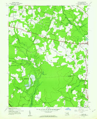
1942 · Wango
USGS Topo · 1:24,000
1942 · Tingles Island
USGS Topo · 1:24,000