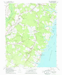
1967 Map of Public Landing
USGS Topo · Published 1968About this map
Chincoteague Bay defines the eastern edge of this Worcester County landscape, where the coastal waters meet a network of landings and points including Windmill Point and Kelly Point. The shoreline economy is evident through features like the Snow Hill Marina and historical landing sites such as Public Landing and Harmon Landing. Inland, the Penn Central railroad cuts through the territory, serving small rural hubs like Newark and the descriptively named Basket Switch.
Find a feature on this map
70 named features on this map. Tap any name to fly to it.
Don’t see what you’re looking for? This feature index may not catch every label — zoom into the map to look around manually.
Map Details
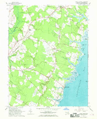
Editions of this 1967 Public Landing Map
2 editions found
Other maps of this area

1901 · Snow Hill
USGS Topo · 1:62,500

1901 · Green Run
USGS Topo · 1:62,500

1901 · Ocean City
USGS Topo · 1:62,500

1902 · Pittsville
USGS Topo · 1:62,500

1938 · Green Run
USGS Topo · 1:62,500

1942 · Ocean City
USGS Topo · 1:62,500

1942 · Ninepin
USGS Topo · 1:24,000

1942 · Snow Hill
USGS Topo · 1:24,000

1942 · Wango
USGS Topo · 1:24,000

1942 · Tingles Island
USGS Topo · 1:24,000