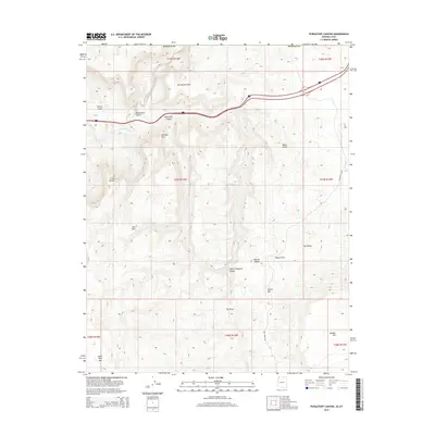
2014 Map of Purgatory Canyon
USGS Topo · Published 2014About this map
Purgatory Canyon and the surrounding high desert of northwestern Arizona are depicted in this 2014 survey, illustrating the complex drainage systems that feed into the Virgin River. The landscape is defined by stark geological formations, including Shivwits Arch and the Yellow Knolls, showcasing the transition from the Mojave Desert into the elevated plateaus of Mohave County. Interstate 15 cuts through the northern section of the map, passing by the State Line Reservoir near the border with Utah.
Find a feature on this map
27 named features on this map. Tap any name to fly to it.
Don’t see what you’re looking for? This feature index may not catch every label — zoom into the map to look around manually.
Map Details
Editions of this 2014 Purgatory Canyon Map
This is the sole edition of this map. No revisions or reprints were ever made.
Other maps of this area

1885 · St. George
USGS Topo · 1:250,000

1886 · Mt. Trumbull
USGS Topo · 1:250,000

1891 · St. George
USGS Topo · 1:250,000

1892 · Mt. Trumbull
USGS Topo · 1:250,000

1953 · Cedar City
USGS Topo · 1:250,000

1953 · Grand Canyon
USGS Topo · 1:250,000

1954 · Wolf Hole Mtn. NW
USGS Topo · 1:24,000

1954 · Beaver Dam Mts SE
USGS Topo · 1:24,000

1954 · Wolf Hole Mtn. NE
USGS Topo · 1:24,000

1954 · St. George
USGS Topo · 1:62,500