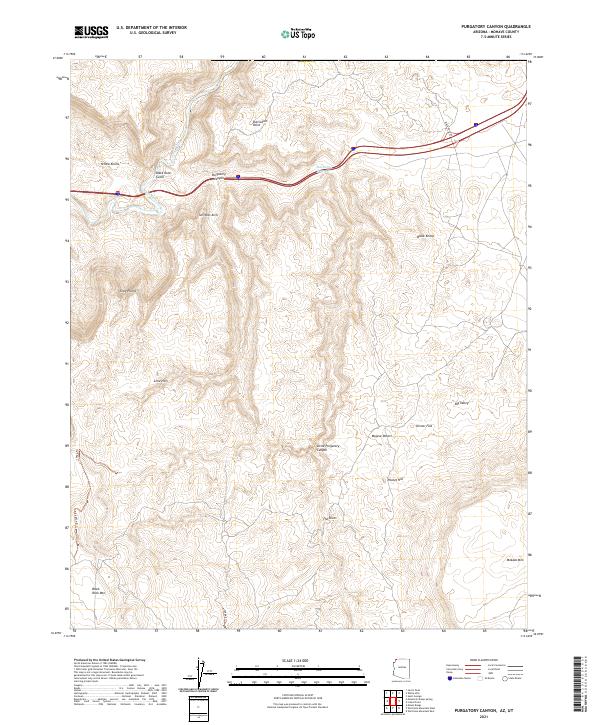
2021 Map of Purgatory Canyon
USGS Topo · Published 2021About this map
The Virgin River cuts through the northwest corner of this Mohave County landscape, passing below Black Rock Gulch and the distinctive formations of Yellow Knolls. This high-desert terrain is marked by severe vertical relief and isolation, centered on the deep fissure of Purgatory Canyon and its smaller counterpart, Little Purgatory Canyon. To the north, Starvation Point overlooks the river valley, while the Shivwits Arch stands as a notable landmark within the complex drainage systems.
Find a feature on this map
27 named features on this map. Tap any name to fly to it.
Don’t see what you’re looking for? This feature index may not catch every label — zoom into the map to look around manually.
Map Details
Editions of this 2021 Purgatory Canyon Map
This is the sole edition of this map. No revisions or reprints were ever made.
Other maps of this area

1885 · St. George
USGS Topo · 1:250,000

1886 · Mt. Trumbull
USGS Topo · 1:250,000

1891 · St. George
USGS Topo · 1:250,000

1892 · Mt. Trumbull
USGS Topo · 1:250,000

1953 · Cedar City
USGS Topo · 1:250,000

1953 · Grand Canyon
USGS Topo · 1:250,000

1954 · Wolf Hole Mtn. NW
USGS Topo · 1:24,000

1954 · Beaver Dam Mts SE
USGS Topo · 1:24,000

1954 · Wolf Hole Mtn. NE
USGS Topo · 1:24,000

1954 · St. George
USGS Topo · 1:62,500