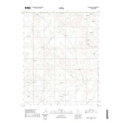
2020 Map of Purgatory Canyon
USGS Topo · Published 2020About this map
Barker Dome and the intricate drainage systems of San Juan County characterize this arid landscape near the New Mexico and Colorado border. The terrain is defined by a dense network of canyons and arroyos, where seasonal water flows have carved deep into the earth. Prominent features include the namesake Purgatory Canyon and Navajo Canyon, which snake through the western reaches of the quadrangle. Sparse water sources such as Blue Lake and Jones Lake appear as vital landmarks in an otherwise dry environment.
Find a feature on this map
42 named features on this map. Tap any name to fly to it.
Don’t see what you’re looking for? This feature index may not catch every label — zoom into the map to look around manually.
Map Details
Editions of this 2020 Purgatory Canyon Map
This is the sole edition of this map. No revisions or reprints were ever made.
Other maps of this area

1889 · Chaco
USGS Topo · 1:250,000

1892 · Chaco
USGS Topo · 1:250,000

1912 · Soda Canyon
USGS Topo · 1:62,500

1913 · Red Mesa
USGS Topo · 1:62,500

1915 · Soda Canyon
USGS Topo · 1:62,500

1954 · Shiprock
USGS Topo · 1:250,000

1956 · Cortez
USGS Topo · 1:250,000

1958 · Cortez
USGS Topo · 1:250,000

1958 · Shiprock
USGS Topo · 1:250,000

1959 · Shiprock
USGS Topo · 1:250,000