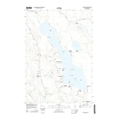
2014 Map of Pushaw Lake
USGS Topo · Published 2014About this map
Pushaw Lake and the Pushaw Reservoir dominate this northern Penobscot County landscape, defining the character of the settlements that ring their shores. The transition from the rural village of Glenburn Center to the lakeside communities is marked by numerous landings, including Lakeside Landing, Lucky Landing, and Elliot Landing. These points of access, along with the cluster of homes at Villa Vaughn, reflect a landscape deeply tied to the water's edge.
Find a feature on this map
86 named features on this map. Tap any name to fly to it.
Don’t see what you’re looking for? This feature index may not catch every label — zoom into the map to look around manually.
Map Details
Editions of this 2014 Pushaw Lake Map
This is the sole edition of this map. No revisions or reprints were ever made.
Other maps of this area

1902 · Orono
USGS Topo · 1:62,500

1902 · Bangor
USGS Topo · 1:62,500

1917 · Passadumkeag
USGS Topo · 1:62,500

1933 · Boyd Lake
USGS Topo · 1:62,500

1942 · Bangor
USGS Topo · 1:62,500

1944 · Orono
USGS Topo · 1:62,500

1946 · Bangor
USGS Topo · 1:62,500

1946 · Orono
USGS Topo · 1:62,500

1948 · Bangor
USGS Topo · 1:250,000

1951 · Boyd Lake
USGS Topo · 1:50,000