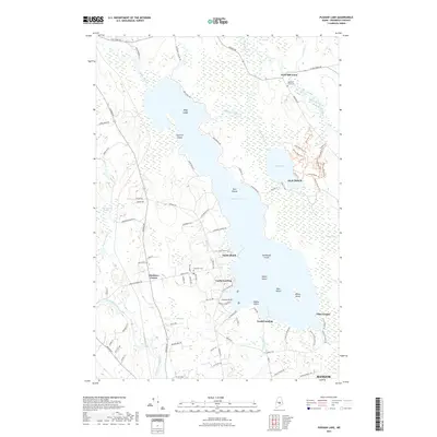
2021 Map of Pushaw Lake
USGS Topo · Published 2021About this map
Pushaw Lake dominates this Penobscot County landscape, surrounded by a complex network of wetlands including Whitten Bog, Hollis Bog, and the expansive Caribou Bog to the east. The map illustrates a lakeside community defined by numerous seasonal and year-round landings such as Lucky Landing, Gould Landing, and the settlement at Sandy Beach. Further inland, Glenburn Center and West Old Town serve as local hubs, with the latter featuring the West Old Town Cem.
Find a feature on this map
100 named features on this map. Tap any name to fly to it.
Don’t see what you’re looking for? This feature index may not catch every label — zoom into the map to look around manually.
Map Details
Editions of this 2021 Pushaw Lake Map
This is the sole edition of this map. No revisions or reprints were ever made.
Other maps of this area

1902 · Orono
USGS Topo · 1:62,500

1902 · Bangor
USGS Topo · 1:62,500

1917 · Passadumkeag
USGS Topo · 1:62,500

1933 · Boyd Lake
USGS Topo · 1:62,500

1942 · Bangor
USGS Topo · 1:62,500

1944 · Orono
USGS Topo · 1:62,500

1946 · Bangor
USGS Topo · 1:62,500

1946 · Orono
USGS Topo · 1:62,500

1948 · Bangor
USGS Topo · 1:250,000

1951 · Boyd Lake
USGS Topo · 1:50,000