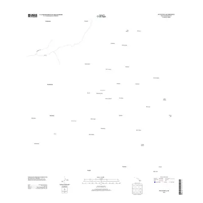
2013 Map of Puulehua
USGS Topo · Published 2013About this map
Pu‘ulehua Ranch sits at the heart of this landscape on the Island of Hawai‘i, surrounded by a complex system of volcanic features and traditional land divisions. The map reveals a sparsely populated region defined by its unique geology, where islands of older vegetation known as kīpuka, such as Kipuka Major and Mizotas Kipuka, are preserved amidst more recent flows. Early 21st-century ranching and residential markers like Kahelepo House and Nenenui Gate provide points of human interest in an area largely characterized by named terrain features like the Papunawai Hills and the evocative Devil Country. Long-established routes including the Kaukohoku Trl and Judd Trl offer evidence of historic passage through the inland territory, while water features such as Waikumono and Wahapele mark the essential resources of this high-elevation terrain.
Find a feature on this map
38 named features on this map. Tap any name to fly to it.
Don’t see what you’re looking for? This feature index may not catch every label — zoom into the map to look around manually.
Map Details
Editions of this 2013 Puulehua Map
This is the sole edition of this map. No revisions or reprints were ever made.
Other maps of this area

1927 · Kaohe
USGS Topo · 1:62,500

1928 · Kailua
USGS Topo · 1:62,500

1928 · Mauna Loa
USGS Topo · 1:62,500

1930 · Kaohe
USGS Topo · 1:62,500

1954 · Hawaii South
USGS Topo · 1:250,000

1954 · Hawaii North
USGS Topo · 1:250,000

1956 · Puu O Uo
USGS Topo · 1:24,000

1956 · Naohueleelua
USGS Topo · 1:24,000

1959 · Hawaii South
USGS Topo · 1:250,000

1959 · Hawaii North
USGS Topo · 1:250,000