
1928 Map of Mauna Loa
USGS Topo · Published 1928About this map
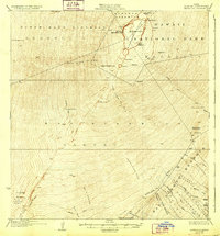
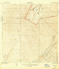
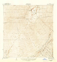
Mauna Loa dominates this 1920s topography, revealing the active volcanic landscape of the Hawaii National Park and surrounding districts before mid-century eruptions altered the terrain. The map meticulously documents recent volcanic activity, including the Lava Flow of 1926 and the Alika Lava Flow of 1919, which are etched across the western slopes of the North Kona District and Kau District. At the summit, the massive Mokuaweoweo Crater is detailed alongside high-altitude landmarks like Sulphur Cone and Pohaku Hanalei.
Find a feature on this map
45 named features on this map. Tap any name to fly to it.
Don’t see what you’re looking for? This feature index may not catch every label — zoom into the map to look around manually.
Map Details
Editions of this 1928 Mauna Loa Map
4 editions found
Other maps of this area

1921 · Kilauea
USGS Topo · 1:62,500

1923 · Pahala
USGS Topo · 1:62,500

1924 · Kilauea
USGS Topo · 1:62,500

1924 · Honuapo
USGS Topo · 1:62,500

1927 · Kaohe
USGS Topo · 1:62,500

1928 · Kailua
USGS Topo · 1:62,500

1928 · Hoopuloa
USGS Topo · 1:62,500

1930 · Humuula
USGS Topo · 1:62,500

1930 · Kaohe
USGS Topo · 1:62,500

1954 · Hawaii South
USGS Topo · 1:250,000