
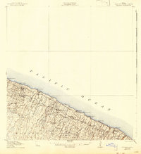
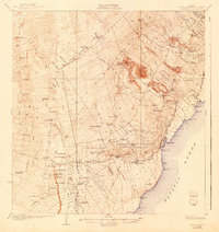
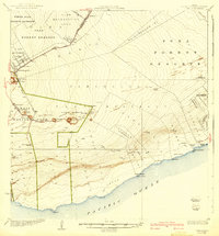
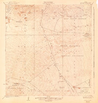
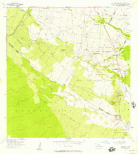
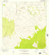
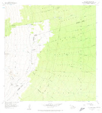
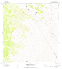
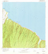
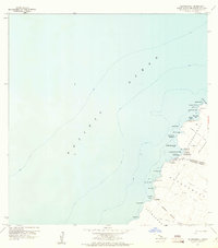
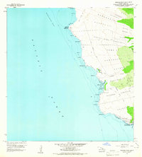
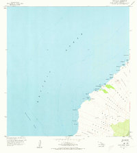
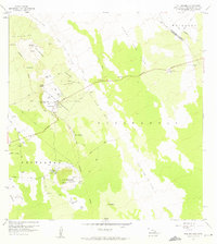
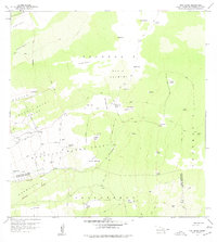
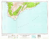
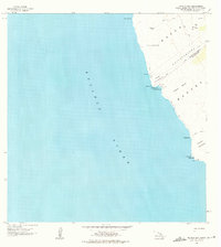
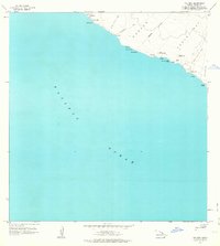
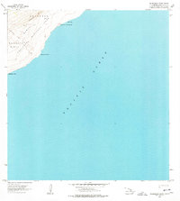
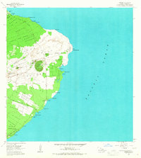
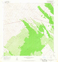
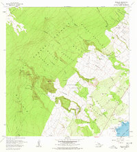
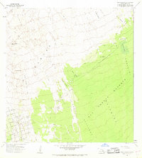
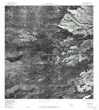
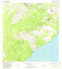
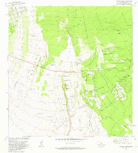
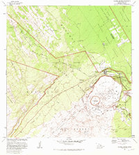
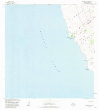
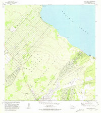
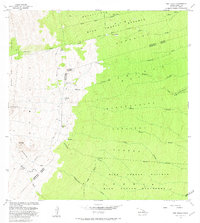
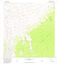
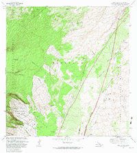
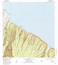
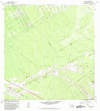
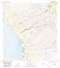
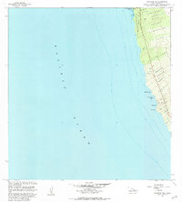
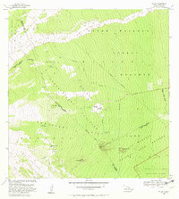
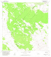
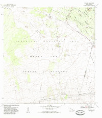
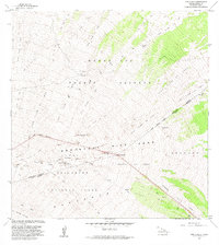
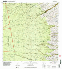
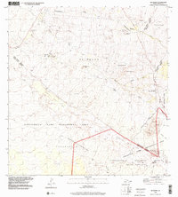
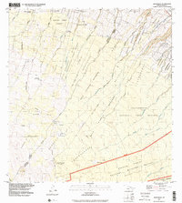
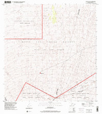
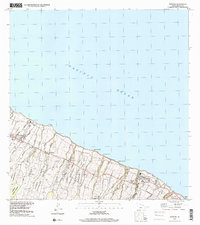
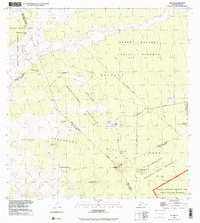
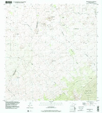
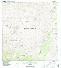
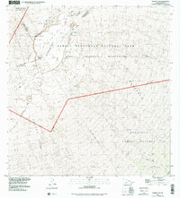
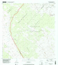
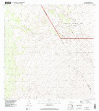
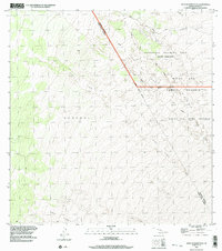
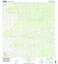
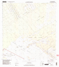
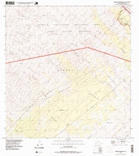
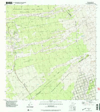
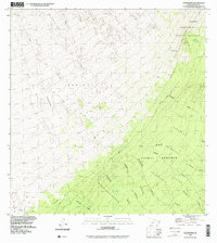
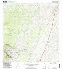
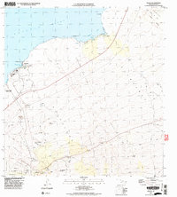
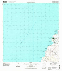
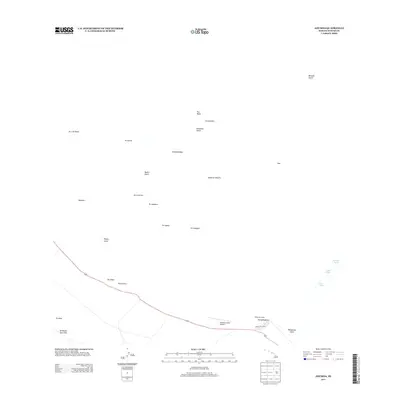
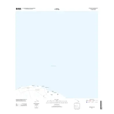
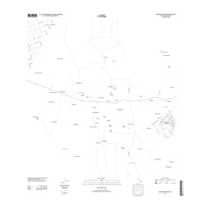
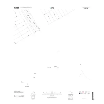
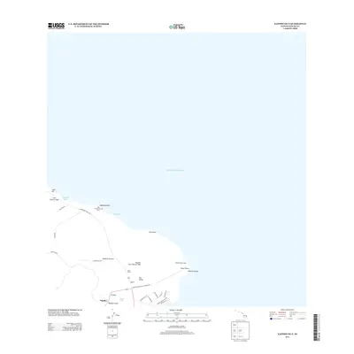
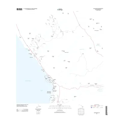
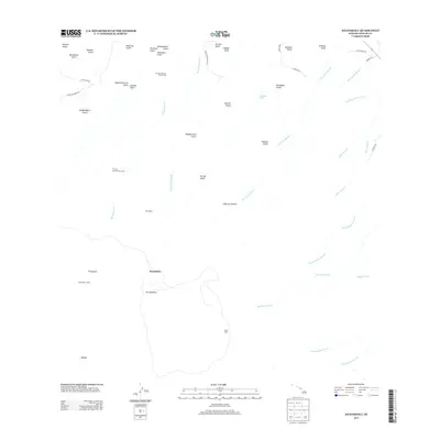
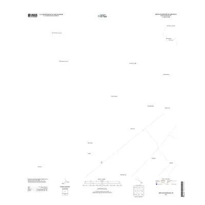
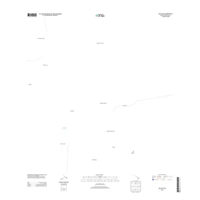
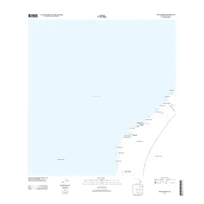
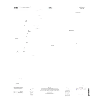
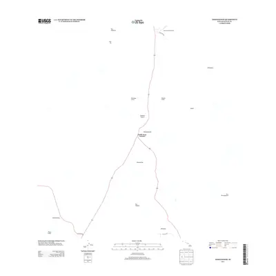
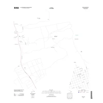
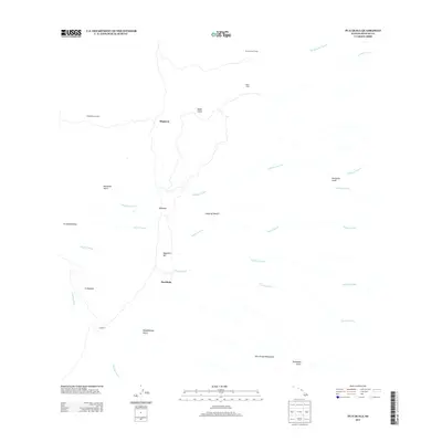
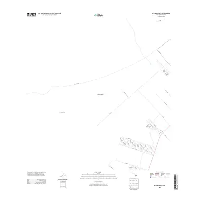
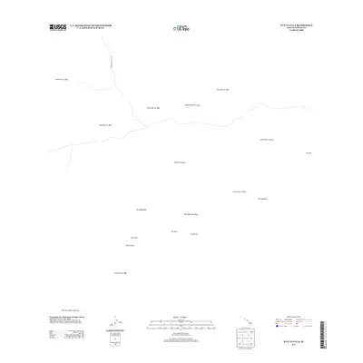
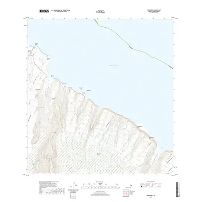
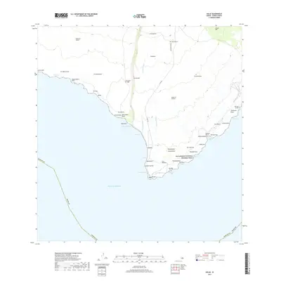
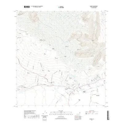
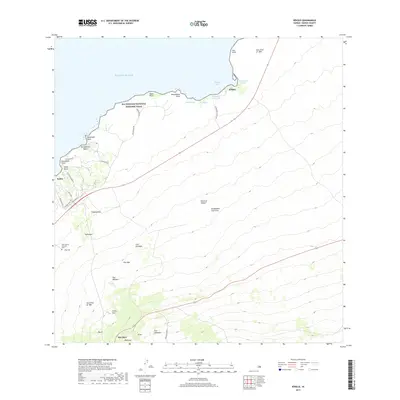
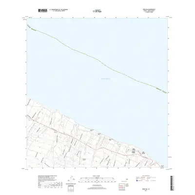
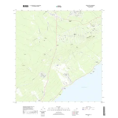
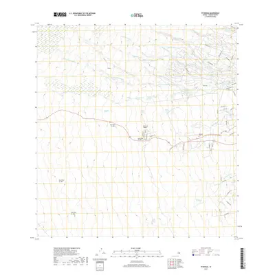
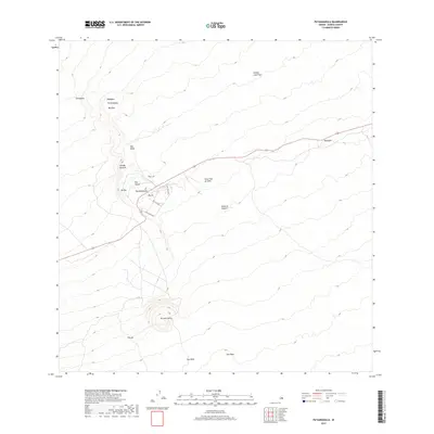
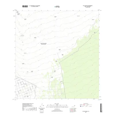
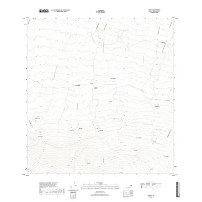
1928 Map of Hoopuloa
USGS Topo · Published 1933About this map
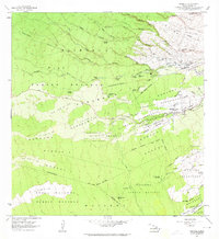
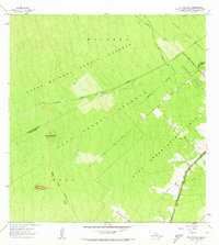
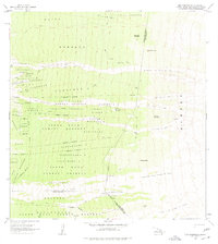
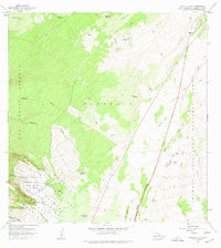
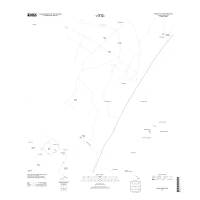
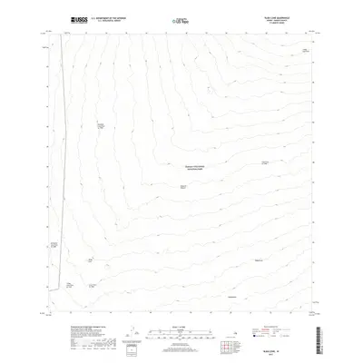
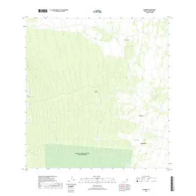
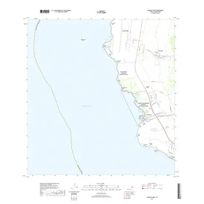
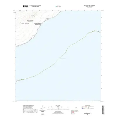
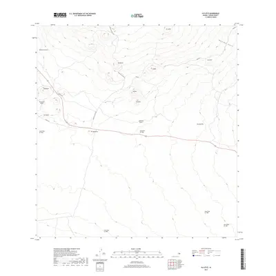
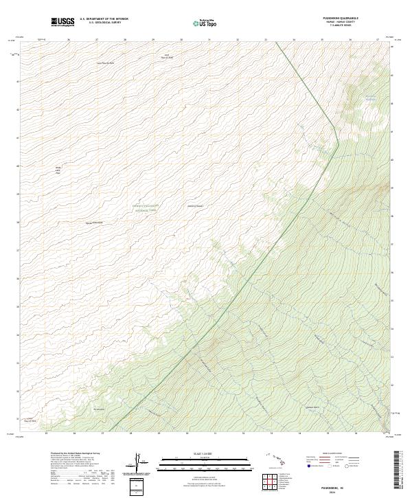
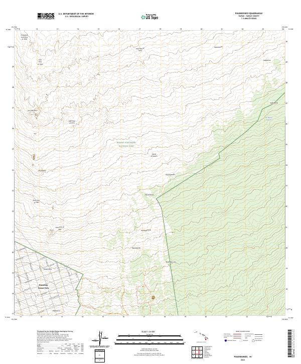
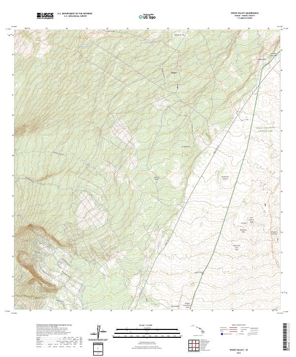
The southwest coast of Hawaii Island is defined here by successive lava flows and high-elevation forest reserves during the mid-1920s. Along the shoreline, small coastal settlements like Milolii and Hoopuloa serve as anchors for local life, while the interior is dominated by the South Kona Forest Reserve and Kapua Manuka Forest Reserve. The map meticulously tracks recent geological history, specifically labeling the massive 1916, 1919, and 1926 lava flows that reshaped the terrain. Industrial footprints are visible in the uplands through the Ohin Mill and Koa Mill, suggesting the importance of timber or agriculture in the higher elevations. Evidence of early land division is clear in the Alika Homesteads and Papa Homesteads, while landmarks like the Kahuku Roadhouse and Manuka Mauka House provide stopping points along the primary inland routes.
Find a feature on this map
60 named features on this map. Tap any name to fly to it.
Don’t see what you’re looking for? This feature index may not catch every label — zoom into the map to look around manually.
Map Details
Editions of this 1928 Hoopuloa Map
This is the sole edition of this map. No revisions or reprints were ever made.
Historical Maps of Hoʻōpūloa Through Time
430 maps found

1913 Kohala
Hawaii County, HI
1915 Hamakua
Hawaii County, HI
1916 Kohala
Hawaii County, HI
1916 Waipio
Hawaii County, HI
1921 Kilauea
Hawaii County, HI

1922 Puna
Hawaii County, HI
1924 Honuapo
Hawaii County, HI
1924 Kalae
Hawaii County, HI
1924 Kilauea
Hawaii County, HI
1924 Makuu
Hawaii County, HI
1924 Puna
Hawaii County, HI
1927 Kaohe
Hawaii County, HI
1928 Hoopuloa
Hawaii County, HI
1928 Kailua
Hawaii County, HI
1928 Mauna Loa
Hawaii County, HI
1930 Humuula
Hawaii County, HI
1930 Kaohe
Hawaii County, HI

1954 Hawaii North
Hawaii County, HI

1954 Hawaii South
Hawaii County, HI
1956 Ahumoa
Hawaii County, HI
1956 Kamuela
Hawaii County, HI

1956 Kawaihae
Hawaii County, HI
1956 Keamuku
Hawaii County, HI
1956 Keanakolu
Hawaii County, HI
1956 Kokoolau
Hawaii County, HI
1956 Kulani
Hawaii County, HI
1956 Makahalau
Hawaii County, HI
1956 Mauna Kea
Hawaii County, HI
1956 Naohueleelua
Hawaii County, HI
1956 Nohonaohae
Hawaii County, HI
1956 Pua Akala
Hawaii County, HI
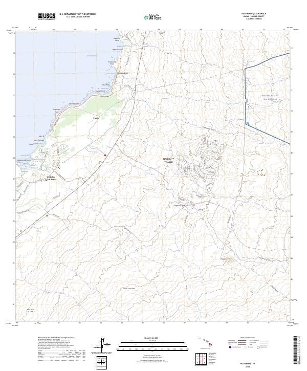
1956 Puu Hinai
Hawaii County, HI
1956 Puu Koli
Hawaii County, HI
1956 Puu Oo
Hawaii County, HI
1956 Puu O Uo
Hawaii County, HI
1956 Puu Ulaula
Hawaii County, HI
1956 Umikoa
Hawaii County, HI
1956 Upper Piihonua
Hawaii County, HI
1957 Honokane
Hawaii County, HI
1957 Keawanui Bay
Hawaii County, HI
1957 Kukaiau
Hawaii County, HI
1957 Mahukona
Hawaii County, HI
1959 Anaehoomalu
Hawaii County, HI

1959 Hawaii North
Hawaii County, HI

1959 Hawaii South
Hawaii County, HI
1959 Honaunau
Hawaii County, HI
1959 Hualalai
Hawaii County, HI
1959 Kailua
Hawaii County, HI
1959 Keahole Point
Hawaii County, HI

1959 Kiholo
Hawaii County, HI
1959 Makalawena
Hawaii County, HI
1959 Puu Anahulu
Hawaii County, HI
1959 Puu Lehua
Hawaii County, HI

1960 Kaunene
Hawaii County, HI

1961 Hawaii North
Hawaii County, HI

1961 Hawaii South
Hawaii County, HI
1962 Hawaii South
Hawaii County, HI
1962 Kahuku Ranch
Hawaii County, HI
1962 Ka Lae
Hawaii County, HI
1962 Kauluoa Point
Hawaii County, HI
1962 Manuka Bay
Hawaii County, HI
1962 Milolii
Hawaii County, HI
1962 Papa
Hawaii County, HI
1962 Pohue Bay
Hawaii County, HI
1962 Puu Hou
Hawaii County, HI
1963 Kau Desert
Hawaii County, HI
1963 Keaau Ranch
Hawaii County, HI

1963 Kilauea Crater
Hawaii County, HI
1963 Makaopuhi Crater
Hawaii County, HI
1963 Naliikakani Point
Hawaii County, HI
1963 Piihonua
Hawaii County, HI
1963 Puu Makaala
Hawaii County, HI
1963 Puu Pohakuloa
Hawaii County, HI
1965 Kapoho
Hawaii County, HI
1965 Pahoa North
Hawaii County, HI
1966 Akaka Falls
Hawaii County, HI
1966 Kalalua
Hawaii County, HI
1966 Kipuka Pakekake
Hawaii County, HI
1966 Mauna Loa
Hawaii County, HI
1966 Pahoa South
Hawaii County, HI
1966 Papaaloa
Hawaii County, HI
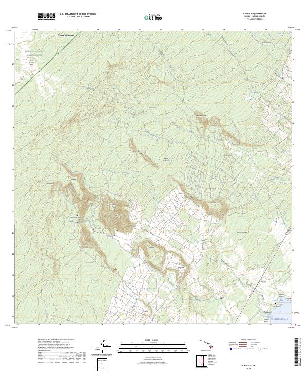
1966 Punaluu
Hawaii County, HI
1966 Sulphur Cone
Hawaii County, HI
1967 Alika Cone
Hawaii County, HI
1967 Keaiwa Reservoir
Hawaii County, HI
1967 Puu O Keokeo
Hawaii County, HI
1967 Wood Valley
Hawaii County, HI

1975 Hawaii
Hawaii County, HI
1977 Kilauea Crater
Hawaii County, HI
1977 Makaopuhi Crater
Hawaii County, HI
1977 Piihonua
Hawaii County, HI
1978 Mauna Kea
Hawaii County, HI
1978 Mauna Loa
Hawaii County, HI

1980 Hawaii County Sheet 1
Hawaii County, HI

1980 Hawaii County Sheet 2
Hawaii County, HI

1980 Hawaii County Sheet 3
Hawaii County, HI
1980 Keaau Ranch
Hawaii County, HI
1980 Pahoa South
Hawaii County, HI
1980 Papaaloa
Hawaii County, HI
1981 Akaka Falls
Hawaii County, HI
1981 Alika Cone
Hawaii County, HI
1981 Kahuku Ranch
Hawaii County, HI
1981 Kapoho
Hawaii County, HI
1981 Kau Desert
Hawaii County, HI
1981 Keaiwa Reservoir
Hawaii County, HI
1981 Kilauea Crater
Hawaii County, HI
1981 Kipuka Pakekake
Hawaii County, HI
1981 Makahalau
Hawaii County, HI
1981 Makaopuhi Crater
Hawaii County, HI
1981 Manuka Bay
Hawaii County, HI
1981 Mauna Loa
Hawaii County, HI
1981 Milolii
Hawaii County, HI
1981 Naliikakani Point
Hawaii County, HI
1981 Pahoa North
Hawaii County, HI
1981 Papa
Hawaii County, HI
1981 Piihonua
Hawaii County, HI
1981 Pohue Bay
Hawaii County, HI
1981 Pua Akala
Hawaii County, HI
1981 Puu Anahulu
Hawaii County, HI
1981 Puu Hou
Hawaii County, HI
1981 Puu Makaala
Hawaii County, HI
1981 Puu O Keokeo
Hawaii County, HI
1981 Puu O Uo
Hawaii County, HI
1981 Sulphur Cone
Hawaii County, HI
1981 Upper Piihonua
Hawaii County, HI
1981 Wood Valley
Hawaii County, HI
1982 Ahumoa
Hawaii County, HI
1982 Anaehoomalu
Hawaii County, HI
1982 Honaunau
Hawaii County, HI
1982 Honokane
Hawaii County, HI
1982 Hualalai
Hawaii County, HI
1982 Kailua
Hawaii County, HI
1982 Ka Lae
Hawaii County, HI
1982 Kalalua
Hawaii County, HI
1982 Kamuela
Hawaii County, HI
1982 Kauluoa Point
Hawaii County, HI
1982 Kaunene
Hawaii County, HI
1982 Kawaihae
Hawaii County, HI
1982 Keahole Point
Hawaii County, HI
1982 Keamuku
Hawaii County, HI
1982 Keanakolu
Hawaii County, HI
1982 Keawanui Bay
Hawaii County, HI
1982 Kiholo
Hawaii County, HI
1982 Kokoolau
Hawaii County, HI
1982 Kukaiau
Hawaii County, HI
1982 Kulani
Hawaii County, HI
1982 Mahukona
Hawaii County, HI
1982 Makalawena
Hawaii County, HI
1982 Mauna Kea
Hawaii County, HI
1982 Naohueleelua
Hawaii County, HI
1982 Nohonaohae
Hawaii County, HI
1982 Punaluu
Hawaii County, HI
1982 Puu Hinai
Hawaii County, HI
1982 Puu Koli
Hawaii County, HI
1982 Puu Lehua
Hawaii County, HI
1982 Puu Oo
Hawaii County, HI
1982 Puu Pohakuloa
Hawaii County, HI
1982 Puu Ulaula
Hawaii County, HI
1982 Umikoa
Hawaii County, HI
1992 Ahumoa
Hawaii County, HI
1992 Papaaloa
Hawaii County, HI
1993 Akaka Falls
Hawaii County, HI
1993 Honokane
Hawaii County, HI
1993 Hualalai
Hawaii County, HI
1993 Kaunene
Hawaii County, HI
1993 Keamuku
Hawaii County, HI
1993 Keanakolu
Hawaii County, HI
1993 Kokoolau
Hawaii County, HI
1993 Kukaiau
Hawaii County, HI
1993 Kulani
Hawaii County, HI
1993 Makahalau
Hawaii County, HI
1993 Mauna Kea
Hawaii County, HI
1993 Mauna Loa
Hawaii County, HI
1993 Naohuleelua
Hawaii County, HI
1993 Puaakala
Hawaii County, HI
1993 Puukoli
Hawaii County, HI
1993 Puulehua
Hawaii County, HI
1993 Puuoo
Hawaii County, HI
1993 Puuulaula
Hawaii County, HI
1993 Sulphur Cone
Hawaii County, HI
1993 Umikoa
Hawaii County, HI
1993 West Of Kokoolau
Hawaii County, HI
1994 Keaau Ranch
Hawaii County, HI
1994 Pahoa South
Hawaii County, HI
1994 Puumakaala
Hawaii County, HI
1994 Waikoloa Ponds
Hawaii County, HI
1995 Alika Cone
Hawaii County, HI
1995 Kahuku Ranch
Hawaii County, HI
1995 Kalae
Hawaii County, HI
1995 Kalalua
Hawaii County, HI
1995 Kamuela
Hawaii County, HI
1995 Kau Desert
Hawaii County, HI
1995 Kawaihae
Hawaii County, HI

1995 Kilauea Crater
Hawaii County, HI
1995 Kipukapakekake
Hawaii County, HI
1995 Mahukona
Hawaii County, HI

1995 Makaopuhi Crater
Hawaii County, HI
1995 Manuka Bay
Hawaii County, HI
1995 Pahoa North
Hawaii County, HI
1995 Papa
Hawaii County, HI
1995 Pohue Bay
Hawaii County, HI
1995 Punaluu
Hawaii County, HI
1995 Puuhou
Hawaii County, HI
1995 Puukinikini
Hawaii County, HI
1995 Puu O Keokeo
Hawaii County, HI
1995 Puuoo
Hawaii County, HI
1995 Puupohakuloa
Hawaii County, HI
1995 Wood Valley
Hawaii County, HI
1996 Honaunau
Hawaii County, HI

1996 Kailua
Hawaii County, HI
1996 Kauluoa Point
Hawaii County, HI
1996 Keahole Point
Hawaii County, HI
1996 Kiholo
Hawaii County, HI
1996 Makalawena
Hawaii County, HI
1996 Milolii
Hawaii County, HI
1996 Puu Anahulu
Hawaii County, HI
1997 Anaehoomalu
Hawaii County, HI
1997 Nohonaohae
Hawaii County, HI
1997 Piihonua
Hawaii County, HI
1997 Puu Hinai
Hawaii County, HI
2013 Ahumoa
Hawaii County, HI
2013 Akaka Falls
Hawaii County, HI
2013 Alika Cone
Hawaii County, HI
2013 Anaehoomalu
Hawaii County, HI
2013 Hawi OE N
Hawaii County, HI
2013 Honaunau
Hawaii County, HI
2013 Honokane
Hawaii County, HI
2013 Hualalai
Hawaii County, HI
2013 Kahuku Ranch
Hawaii County, HI
2013 Kailua
Hawaii County, HI
2013 Kalae
Hawaii County, HI
2013 Kalae OE E
Hawaii County, HI
2013 Kalalua
Hawaii County, HI
2013 Kalapana OE E
Hawaii County, HI
2013 Kamuela
Hawaii County, HI
2013 Kapoho
Hawaii County, HI
2013 Kapoho OE N
Hawaii County, HI
2013 Kau Desert
Hawaii County, HI
2013 Kauluoa Point
Hawaii County, HI
2013 Kaunene
Hawaii County, HI
2013 Kawaihae
Hawaii County, HI
2013 Keaau Ranch
Hawaii County, HI
2013 Keahole Point
Hawaii County, HI
2013 Keamuku
Hawaii County, HI
2013 Keanakolu
Hawaii County, HI
2013 Keawanui Bay
Hawaii County, HI
2013 Kiholo
Hawaii County, HI
2013 Kilauea Crater
Hawaii County, HI
2013 Kipukapakekake
Hawaii County, HI
2013 Kokoolau
Hawaii County, HI
2013 Kukaiau
Hawaii County, HI
2013 Kukuihaele OE N
Hawaii County, HI
2013 Kulani
Hawaii County, HI
2013 Mahukona
Hawaii County, HI
2013 Mahukona OE N
Hawaii County, HI
2013 Makahalau
Hawaii County, HI
2013 Makalawena
Hawaii County, HI
2013 Makaopuhi Crater
Hawaii County, HI
2013 Manuka Bay
Hawaii County, HI
2013 Mauna Kea
Hawaii County, HI
2013 Mauna Loa
Hawaii County, HI
2013 Milolii
Hawaii County, HI
2013 Naliikakani Point
Hawaii County, HI
2013 Naohuleelua
Hawaii County, HI
2013 Nohonaohae
Hawaii County, HI
2013 Pahoa North
Hawaii County, HI
2013 Pahoa South
Hawaii County, HI
2013 Papaaloa
Hawaii County, HI
2013 Papa
Hawaii County, HI
2013 Papaikou OE N
Hawaii County, HI
2013 Piihonua
Hawaii County, HI
2013 Pohue Bay
Hawaii County, HI
2013 Puaakala
Hawaii County, HI
2013 Punaluu
Hawaii County, HI
2013 Puuanahulu
Hawaii County, HI
2013 Puu Hinai
Hawaii County, HI
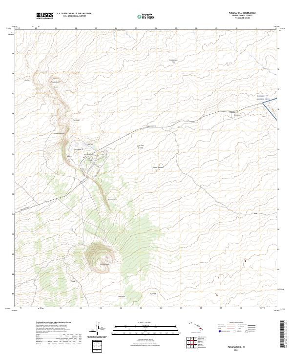
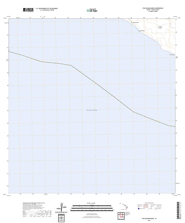
2013 Puu Kahakahakea
Hawaii County, HI
2013 Puukinikini
Hawaii County, HI
2013 Puukoli
Hawaii County, HI
2013 Puulehua
Hawaii County, HI
2013 Puumakaala
Hawaii County, HI
2013 Puuokeokeo
Hawaii County, HI
2013 Puuoo
Hawaii County, HI
2013 Puupohakuloa
Hawaii County, HI
2013 Puuulaula
Hawaii County, HI
2013 Sulphur Cone
Hawaii County, HI
2013 Umikoa
Hawaii County, HI
2013 Waikoloa Ponds
Hawaii County, HI
2013 West of Kokoolau
Hawaii County, HI
2013 Wood Valley
Hawaii County, HI
2017 Ahumoa
Hawaii County, HI
2017 Akaka Falls
Hawaii County, HI
2017 Alika Cone
Hawaii County, HI
2017 Anaehoomalu
Hawaii County, HI
2017 Hawi OE N
Hawaii County, HI
2017 Honaunau
Hawaii County, HI
2017 Honokane
Hawaii County, HI
2017 Hualalai
Hawaii County, HI
2017 Kahuku Ranch
Hawaii County, HI
2017 Kailua
Hawaii County, HI
2017 Kalae
Hawaii County, HI
2017 Kalae OE E
Hawaii County, HI
2017 Kalalua
Hawaii County, HI
2017 Kalapana OE E
Hawaii County, HI
2017 Kamuela
Hawaii County, HI
2017 Kapoho
Hawaii County, HI
2017 Kapoho OE N
Hawaii County, HI
2017 Kau Desert
Hawaii County, HI
2017 Kauluoa Point
Hawaii County, HI
2017 Kaunene
Hawaii County, HI
2017 Kawaihae
Hawaii County, HI
2017 Keaau Ranch
Hawaii County, HI
2017 Keahole Point
Hawaii County, HI
2017 Keamuku
Hawaii County, HI
2017 Keanakolu
Hawaii County, HI
2017 Keawanui Bay
Hawaii County, HI
2017 Kiholo
Hawaii County, HI
2017 Kilauea Crater
Hawaii County, HI
2017 Kipukapakekake
Hawaii County, HI
2017 Kokoolau
Hawaii County, HI
2017 Kukaiau
Hawaii County, HI
2017 Kukuihaele OE N
Hawaii County, HI
2017 Kulani
Hawaii County, HI
2017 Mahukona
Hawaii County, HI
2017 Mahukona OE N
Hawaii County, HI
2017 Makahalau
Hawaii County, HI
2017 Makalawena
Hawaii County, HI
2017 Makaopuhi Crater
Hawaii County, HI
2017 Manuka Bay
Hawaii County, HI
2017 Mauna Kea
Hawaii County, HI
2017 Mauna Loa
Hawaii County, HI
2017 Milolii
Hawaii County, HI
2017 Naliikakani Point
Hawaii County, HI
2017 Naohuleelua
Hawaii County, HI
2017 Nohonaohae
Hawaii County, HI
2017 Pahoa North
Hawaii County, HI
2017 Pahoa South
Hawaii County, HI
2017 Papaaloa
Hawaii County, HI
2017 Papa
Hawaii County, HI
2017 Papaikou OE N
Hawaii County, HI
2017 Piihonua
Hawaii County, HI
2017 Pohue Bay
Hawaii County, HI
2017 Puaakala
Hawaii County, HI
2017 Punaluu
Hawaii County, HI
2017 Puuanahulu
Hawaii County, HI
2017 Puu Hinai
Hawaii County, HI
2017 Puu Kahakahakea
Hawaii County, HI
2017 Puukinikini
Hawaii County, HI
2017 Puukoli
Hawaii County, HI
2017 Puulehua
Hawaii County, HI
2017 Puumakaala
Hawaii County, HI
2017 Puuokeokeo
Hawaii County, HI
2017 Puuoo
Hawaii County, HI
2017 Puupohakuloa
Hawaii County, HI
2017 Puuulaula
Hawaii County, HI
2017 Sulphur Cone
Hawaii County, HI
2017 Umikoa
Hawaii County, HI
2017 Waikoloa Ponds
Hawaii County, HI
2017 West of Kokoolau
Hawaii County, HI
2017 Wood Valley
Hawaii County, HI
2024 Ahumoa
Hawaii County, HI
2024 Akaka Falls
Hawaii County, HI
2024 Alika Cone
Hawaii County, HI
2024 Anaehoomalu
Hawaii County, HI
2024 Hawi OE N
Hawaii County, HI
2024 Honaunau
Hawaii County, HI
2024 Honokane
Hawaii County, HI
2024 Hualalai
Hawaii County, HI
2024 Kahuku Ranch
Hawaii County, HI
2024 Kailua
Hawaii County, HI
2024 Kalae
Hawaii County, HI
2024 Kalae OE E
Hawaii County, HI
2024 Kalalua
Hawaii County, HI
2024 Kalapana OE E
Hawaii County, HI
2024 Kamuela
Hawaii County, HI
2024 Kapoho
Hawaii County, HI
2024 Kapoho OE N
Hawaii County, HI
2024 Kau Desert
Hawaii County, HI
2024 Kauluoa Point
Hawaii County, HI
2024 Kaunene
Hawaii County, HI
2024 Kawaihae
Hawaii County, HI
2024 Keaau Ranch
Hawaii County, HI
2024 Keahole Point
Hawaii County, HI
2024 Keamuku
Hawaii County, HI
2024 Keanakolu
Hawaii County, HI
2024 Keawanui Bay
Hawaii County, HI
2024 Kiholo
Hawaii County, HI

2024 Kilauea Crater
Hawaii County, HI
2024 Kipukapakekake
Hawaii County, HI
2024 Kokoolau
Hawaii County, HI
2024 Kukaiau
Hawaii County, HI
2024 Kukuihaele OE N
Hawaii County, HI
2024 Kulani
Hawaii County, HI
2024 Mahukona
Hawaii County, HI
2024 Mahukona OE N
Hawaii County, HI
2024 Makahalau
Hawaii County, HI
2024 Makalawena
Hawaii County, HI
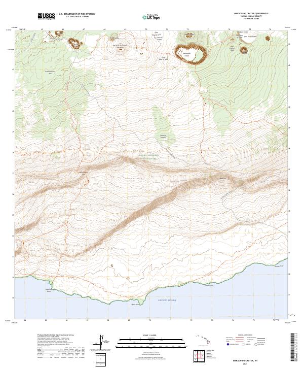
2024 Makaopuhi Crater
Hawaii County, HI
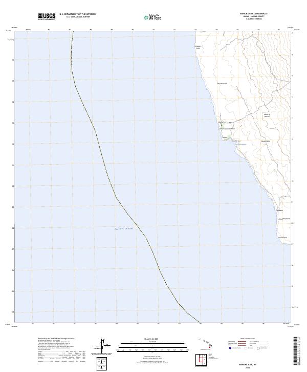
2024 Manuka Bay
Hawaii County, HI
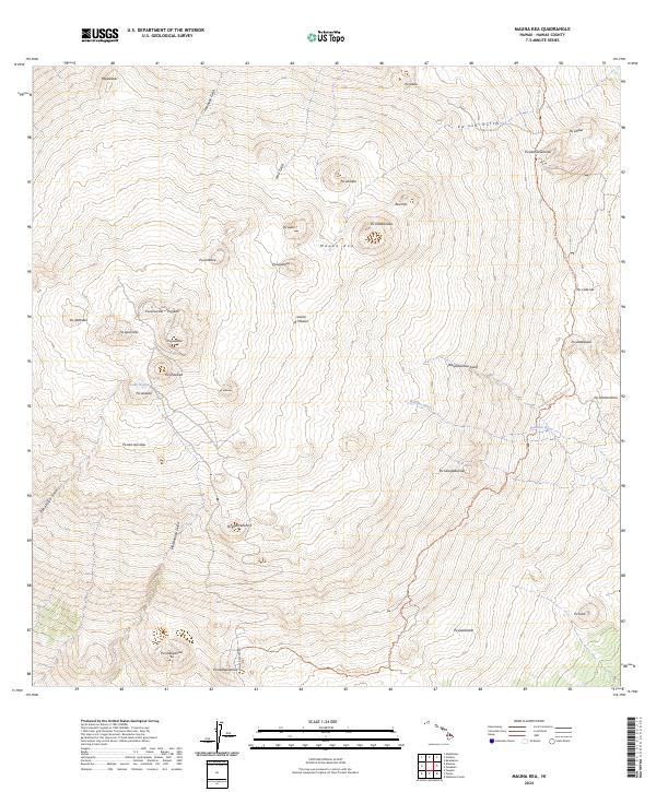
2024 Mauna Kea
Hawaii County, HI
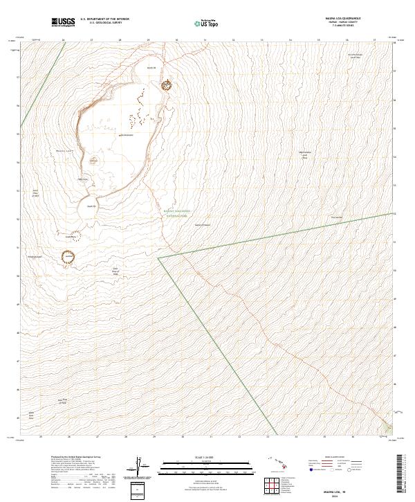
2024 Mauna Loa
Hawaii County, HI
2024 Milolii
Hawaii County, HI
2024 Naliikakani Point
Hawaii County, HI
2024 Naohuleelua
Hawaii County, HI
2024 Nohonaohae
Hawaii County, HI
2024 Pahoa North
Hawaii County, HI
2024 Pahoa South
Hawaii County, HI
2024 Papaaloa
Hawaii County, HI
2024 Papa
Hawaii County, HI
2024 Papaikou OE N
Hawaii County, HI
2024 Piihonua
Hawaii County, HI
2024 Pohue Bay
Hawaii County, HI
2024 Puaakala
Hawaii County, HI
2024 Punaluu
Hawaii County, HI
2024 Puuanahulu
Hawaii County, HI
2024 Puu Hinai
Hawaii County, HI
2024 Puu Kahakahakea
Hawaii County, HI
2024 Puukinikini
Hawaii County, HI
2024 Puukoli
Hawaii County, HI
2024 Puulehua
Hawaii County, HI
2024 Puumakaala
Hawaii County, HI
2024 Puuokeokeo
Hawaii County, HI
2024 Puuoo
Hawaii County, HI
2024 Puupohakuloa
Hawaii County, HI
2024 Puuulaula
Hawaii County, HI
2024 Sulphur Cone
Hawaii County, HI
2024 Umikoa
Hawaii County, HI
2024 Waikoloa Ponds
Hawaii County, HI
2024 West of Kokoolau
Hawaii County, HI
2024 Wood Valley
Hawaii County, HI