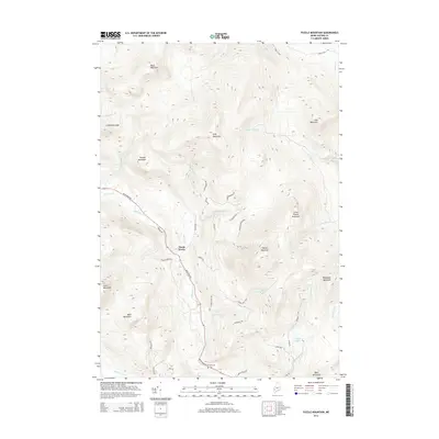
2014 Map of Puzzle Mountain
USGS Topo · Published 2014About this map
North Newry sits at the base of a high-elevation landscape defined by the Bear River valley and a series of massive granite peaks. This 2014 survey captures the settlement's relationship with the surrounding terrain, where Bear River Rd serves as the primary artery connecting the community to the mountain passes. The presence of Powers Cem near the riverbank offers a specific point of interest for genealogists tracing early families in the Oxford County highlands.
Find a feature on this map
47 named features on this map. Tap any name to fly to it.
Don’t see what you’re looking for? This feature index may not catch every label — zoom into the map to look around manually.
Map Details
Editions of this 2014 Puzzle Mountain Map
This is the sole edition of this map. No revisions or reprints were ever made.
Other maps of this area

1911 · Bryant Pond
USGS Topo · 1:62,500

1914 · Bethel
USGS Topo · 1:62,500

1914 · Bryant Pond
USGS Topo · 1:62,500

1927 · Rumford
USGS Topo · 1:48,000

1930 · Rumford
USGS Topo · 1:62,500

1940 · Bethel
USGS Topo · 1:62,500

1941 · Bethel
USGS Topo · 1:62,500

1942 · Bryant Pond
USGS Topo · 1:62,500

1943 · Old Speck Mtn
USGS Topo · 1:62,500

1945 · Old Speck Mtn
USGS Topo · 1:62,500