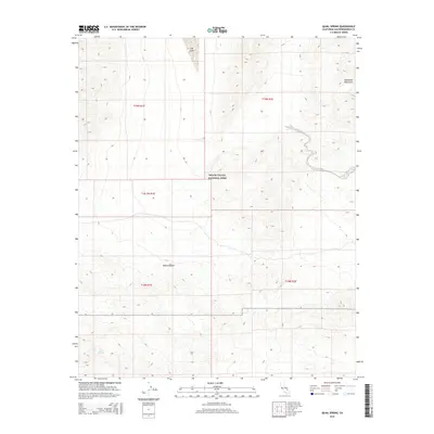
2015 Map of Quail Spring
USGS Topo · Published 2015About this map
Death Valley National Park encompasses much of this arid landscape, where the northern reaches of the Mojave Desert transition into the prominent Owlhead Mountains. This 2015 survey illustrates a remote and sparsely developed section of San Bernardino County, centered on the stark geography of the California desert. Significant water sources in this dry environment include the eponymous Quail Spring in the southwest and the ephemeral Lost Lake situated in the northern basin. The map serves as a record of the intricate contouring of the desert floor and mountain slopes within the park's protected boundaries, highlighting the natural isolation of these landmarks. The grid of township and range lines, such as t18n r1e, provides a systematic framework for understanding the vast, uninhabited terrain between the mountains and the desert flats.
Find a feature on this map
10 named features on this map. Tap any name to fly to it.
Don’t see what you’re looking for? This feature index may not catch every label — zoom into the map to look around manually.
Map Details
Editions of this 2015 Quail Spring Map
This is the sole edition of this map. No revisions or reprints were ever made.
Other maps of this area

1933 · Avawatz Mountains
USGS Topo · 1:250,000

1947 · Trona
USGS Topo · 1:250,000

1948 · Trona
USGS Topo · 1:250,000

1948 · Quail Mountains
USGS Topo · 1:62,500

1948 · Leach Lake
USGS Topo · 1:62,500

1950 · Wingate Wash
USGS Topo · 1:62,500

1950 · Confidence Hills
USGS Topo · 1:62,500

1951 · Quail Mountains
USGS Topo · 1:62,500
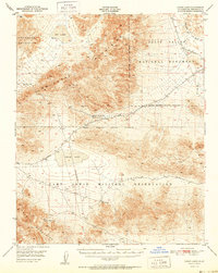
1951 · Leach Lake
USGS Topo · 1:62,500

1953 · Trona
USGS Topo · 1:250,000