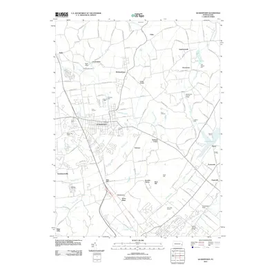
2010 Map of Quakertown
USGS Topo · Published 2010About this map
Quakertown and its surrounding hamlets show a landscape shaped by both early colonial settlement and modern infrastructure. The borough is flanked by numerous smaller communities like Richlandtown, Trumbauersville, and Applebachsville, reflecting the dense settlement patterns of Bucks County. Water remains a central feature of the topography, with Tohickon Creek feeding into the substantial Lake Nockamixon to the east and the smaller Lake Towhee to the north. These reservoirs, along with Beaver Run and Threemile Run, define the drainage of this area.
Find a feature on this map
126 named features on this map. Tap any name to fly to it.
Don’t see what you’re looking for? This feature index may not catch every label — zoom into the map to look around manually.
Map Details
Editions of this 2010 Quakertown Map
This is the sole edition of this map. No revisions or reprints were ever made.
Other maps of this area

1888 · Quakertown
USGS Topo · 1:62,500

1890 · Easton
USGS Topo · 1:62,500

1890 · Doylestown
USGS Topo · 1:62,500

1890 · Quakertown
USGS Topo · 1:62,500

1891 · Easton
USGS Topo · 1:62,500

1891 · Doylestown
USGS Topo · 1:62,500

1894 · Allentown
USGS Topo · 1:62,500

1894 · Quakertown
USGS Topo · 1:62,500

1932 · Easton
USGS Topo · 1:62,500

1939 · Allentown
USGS Topo · 1:62,500