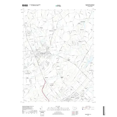
2019 Map of Quakertown
USGS Topo · Published 2019About this map
Quakertown and the surrounding boroughs of Richlandtown, Trumbauersville, and Perkasie form a dense corridor of settlement in upper Bucks County, where suburban expansion meets long-standing agricultural roots. The landscape is defined by the winding course of Tohickon Creek, which feeds into the western edge of Lake Nockamixon. This modern survey reveals a deep layer of religious and community history through its numerous burial grounds, such as the Richland Friends Meeting Burial Ground and the Rocky Ridge Mennonite Cemetery. Preservation of the region's heritage is visible in the presence of Sheards Mill Covered Bridge and Moods Covered Bridge, landmarks that persist alongside contemporary infrastructure like the Pennridge Airport and the Bucks County Community College. The network of small villages, including Applebachsville, Strawntown, and Keelersville, indicates the historical pattern of crossroads communities that have organized this part of the Pennsylvania countryside for generations.
Find a feature on this map
229 named features on this map. Tap any name to fly to it.
Don’t see what you’re looking for? This feature index may not catch every label — zoom into the map to look around manually.
Map Details
Editions of this 2019 Quakertown Map
This is the sole edition of this map. No revisions or reprints were ever made.
Other maps of this area

1888 · Quakertown
USGS Topo · 1:62,500

1890 · Easton
USGS Topo · 1:62,500

1890 · Doylestown
USGS Topo · 1:62,500

1890 · Quakertown
USGS Topo · 1:62,500

1891 · Easton
USGS Topo · 1:62,500

1891 · Doylestown
USGS Topo · 1:62,500

1894 · Allentown
USGS Topo · 1:62,500

1894 · Quakertown
USGS Topo · 1:62,500

1932 · Easton
USGS Topo · 1:62,500

1939 · Allentown
USGS Topo · 1:62,500