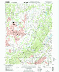
2023 Map of Quakertown
USGS Topo · Published 2023About this map
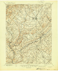
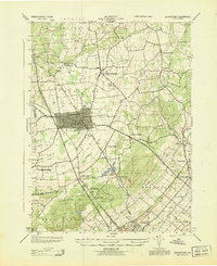
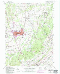
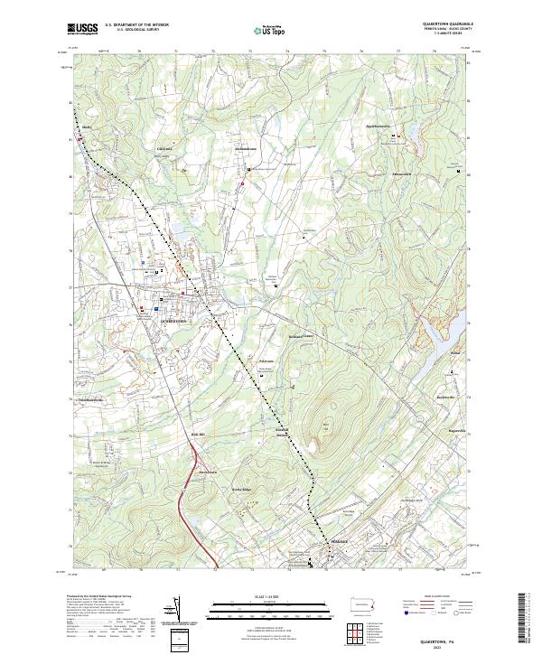
Quakertown and the surrounding upper Bucks County landscape are defined by a dense network of traditional settlements and religious sites. The borough itself serves as a central hub, with the historic Richland Friends Meeting Burial Ground and Saint Johns Lutheran Cem marking its early Quaker and German roots. The surrounding townships are punctuated by smaller hamlets like Richlandtown, Shelly, and Applebachsville, many of which maintain their own distinct communal spaces such as the Richlandtown Union Cem and Haycock Mennonite Cem.
Find a feature on this map
235 named features on this map. Tap any name to fly to it.
Don’t see what you’re looking for? This feature index may not catch every label — zoom into the map to look around manually.
Map Details
Editions of this 2023 Quakertown Map
This is the sole edition of this map. No revisions or reprints were ever made.
Historical Maps of California Through Time
7 maps found