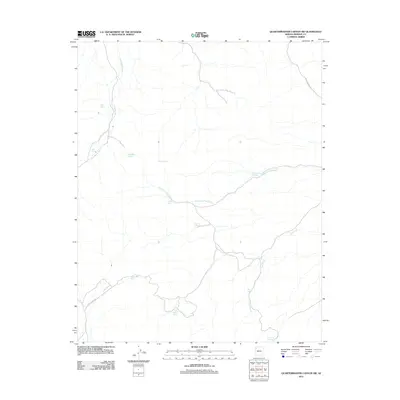
2011 Map of Quartermaster Canyon SW
USGS Topo · Published 2011About this map
Iron Spring Wash carves a path through this high desert landscape in Mohave County, where water sources dictated the patterns of ranching and travel in the early 21st century. The map reveals a network of vital springs and man-made water catchments, including Hillside Springs, Tinnaka Spring, and Hells Canyon Spring. These features, along with names like Honeymoon Tank and Topside Reservoir, suggest a reliance on developed water infrastructure for livestock and land management in this arid territory. Transport through the region is anchored by unpaved routes such as Buck and Doe Rd and Tenny Ranch Rd, which provide access to the drainages of Reference Point Creek and the southern reaches of Lost Creek. The topography is dominated by the dramatic descent into Hells Canyon, showing how the land falls away toward the deeper canyon systems of the Colorado River plateau.
Find a feature on this map
17 named features on this map. Tap any name to fly to it.
Don’t see what you’re looking for? This feature index may not catch every label — zoom into the map to look around manually.
Map Details
Editions of this 2011 Quartermaster Canyon SW Map
This is the sole edition of this map. No revisions or reprints were ever made.
Other maps of this area

1886 · Diamond Creek
USGS Topo · 1:250,000

1886 · Camp Mohave
USGS Topo · 1:250,000

1892 · Diamond Creek
USGS Topo · 1:250,000

1892 · Camp Mohave
USGS Topo · 1:250,000

1942 · Camp Mohave
USGS Topo · 1:250,000

1947 · Kingman
USGS Topo · 1:250,000

1948 · Kingman
USGS Topo · 1:250,000

1948 · Williams
USGS Topo · 1:250,000

1954 · Kingman
USGS Topo · 1:250,000

1954 · Williams
USGS Topo · 1:250,000