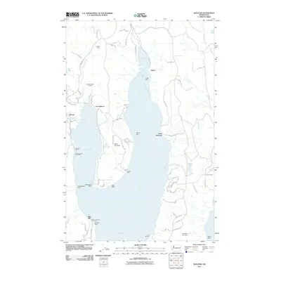
2011 Map of Quilcene
USGS Topo · Published 2011About this map
Dabob Bay and the narrow inlet of Tarboo Bay dominate this coastal landscape on the Olympic Peninsula. The maritime character of the region is evident in the numerous maritime access points, including the Herb Beck Marina and the Lingerlonger Boat Launch Ramp near the mouth of the Big Quilcene River. Inland, the settlement of Quilcene and nearby East Quilcene serve as hubs for a road network that reaches into the surrounding timberlands, marked by features like Bees Mill and the Scalzo Dam. The map also illustrates the distinctive geography of the Bolton Peninsula and Toandos Peninsula, which separate the deep waters of the bay from the Hood Canal. These landforms, along with Long Spit and Broad Spit, highlight the dynamic shoreline where recreation and local industry meet at sites like Camp Discovery and the Kimshan Ranch Airport.
Find a feature on this map
74 named features on this map. Tap any name to fly to it.
Don’t see what you’re looking for? This feature index may not catch every label — zoom into the map to look around manually.
Map Details
Editions of this 2011 Quilcene Map
This is the sole edition of this map. No revisions or reprints were ever made.
Other maps of this area

1936 · Point Misery
USGS Topo · 1:62,500

1937 · Port Orchard
USGS Topo · 1:62,500

1937 · Port Gamble
USGS Topo · 1:62,500

1940 · Port Gamble
USGS Topo · 1:62,500

1940 · Point Misery
USGS Topo · 1:62,500

1940 · Quilcene
USGS Topo · 1:62,500

1953 · Seabeck
USGS Topo · 1:24,000

1953 · Poulsbo
USGS Topo · 1:24,000

1953 · Quilcene
USGS Topo · 1:24,000

1953 · Mt. Walker
USGS Topo · 1:24,000