
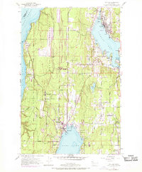
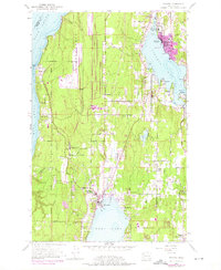
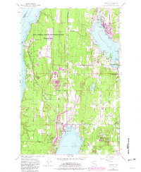
1953 Map of Poulsbo
USGS Topo · Published 1954About this map
Poulsbo serves as a hub of maritime and inland activity along the shores of Liberty Bay during the early 1950s. The landscape is defined by the massive Naval Reservation stretching from Bangor on the Hood Canal eastward, illustrating the significant military footprint in Kitsap County. Residential and community life is concentrated in established settlements like Keyport, Scandia, and Silverdale, the latter featuring the Silverdale Siding and proximity to the tranquil waters of Dyes Inlet.
Find a feature on this map
41 named features on this map. Tap any name to fly to it.
Don’t see what you’re looking for? This feature index may not catch every label — zoom into the map to look around manually.
Map Details
Editions of this 1953 Poulsbo Map
4 editions found
Other maps of this area

1936 · Point Misery
USGS Topo · 1:62,500

1937 · Port Orchard
USGS Topo · 1:62,500

1937 · Port Gamble
USGS Topo · 1:62,500

1940 · Port Gamble
USGS Topo · 1:62,500

1940 · Point Misery
USGS Topo · 1:62,500

1940 · Quilcene
USGS Topo · 1:62,500

1953 · Seabeck
USGS Topo · 1:24,000

1953 · Quilcene
USGS Topo · 1:24,000

1953 · Bremerton West
USGS Topo · 1:24,000
1953 · Port Gamble
USGS Topo · 1:24,000