
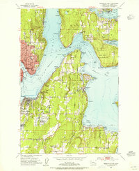
1953 Map of Bremerton West
USGS Topo · Published 1955About this map
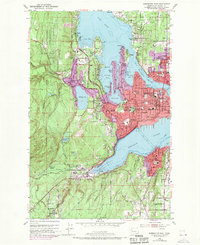
The Puget Sound Naval Shipyard and its industrial footprint dominate the waterfront of this early 1950s survey, illustrating the deep military and maritime identity of the Kitsap Peninsula. The map details the dense urban development of Bremerton and Port Orchard flanking Sinclair Inlet, while further inland, the Camp Wesley Harris Naval Reservation occupies a significant portion of the western terrain.
Find a feature on this map
92 named features on this map. Tap any name to fly to it.
Don’t see what you’re looking for? This feature index may not catch every label — zoom into the map to look around manually.
Map Details
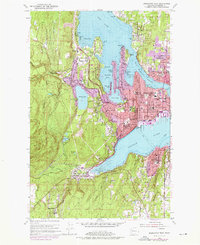
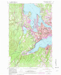
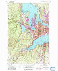
Editions of this 1953 Bremerton West Map
5 editions found
Other maps of this area

1936 · Point Misery
USGS Topo · 1:62,500

1937 · Port Orchard
USGS Topo · 1:62,500

1938 · Allyn
USGS Topo · 1:62,500

1940 · Point Misery
USGS Topo · 1:62,500

1942 · Gig Harbor
USGS Topo · 1:62,500

1943 · Gig Harbor
USGS Topo · 1:62,500

1953 · Seabeck
USGS Topo · 1:24,000

1953 · Poulsbo
USGS Topo · 1:24,000

1953 · Burley
USGS Topo · 1:24,000
1953 · Bremerton East
USGS Topo · 1:24,000
Featured Places
- Bremerton, WA
- Port Orchard, WA
- Tracyton, WA
- East Port Orchard, Port Orchard
- Erlands Point-Kitsap Lake, WA