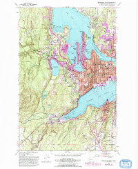
1953 Map of Bremerton West
USGS Topo · Published 1983About this map
The Puget Sound Naval Shipyard dominates the waterfront of Bremerton, serving as the industrial anchor for a landscape defined by its deep-water inlets and naval heritage. This mid-century survey captures the region as urban development pressed westward from the core of East Bremerton and Charleston toward the shores of Kitsap Lake. The intricate shoreline of Dyes Inlet, Ostrich Bay, and Sinclair Inlet is lined with established neighborhoods like Tracyton and Navy Yard City, while the interior still retains landmarks of the era such as the Camp Wesley Harris Rifle Range and Hidden Ranch. Transportation and public life are well-documented, from the Ferry route crossing the sound to numerous neighborhood institutions like Olympic College and Givens Sch in Port Orchard.
Find a feature on this map
73 named features on this map. Tap any name to fly to it.
Don’t see what you’re looking for? This feature index may not catch every label — zoom into the map to look around manually.
Map Details
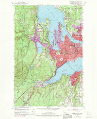
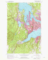
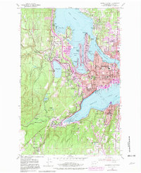
Editions of this 1953 Bremerton West Map
5 editions found
Other maps of this area

1936 · Point Misery
USGS Topo · 1:62,500

1937 · Port Orchard
USGS Topo · 1:62,500

1938 · Allyn
USGS Topo · 1:62,500

1940 · Point Misery
USGS Topo · 1:62,500

1942 · Gig Harbor
USGS Topo · 1:62,500

1943 · Gig Harbor
USGS Topo · 1:62,500

1953 · Seabeck
USGS Topo · 1:24,000

1953 · Poulsbo
USGS Topo · 1:24,000

1953 · Burley
USGS Topo · 1:24,000

1953 · Bremerton West
USGS Topo · 1:24,000
Featured Places
- Bremerton, WA
- Port Orchard, WA
- Tracyton, WA
- East Port Orchard, Port Orchard
- Erlands Point-Kitsap Lake, WA