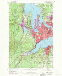
1953 Map of Bremerton West
USGS Topo · Published 1970About this map
The Puget Sound Naval Shipyard dominates the Sinclair Inlet waterfront in this detailed look at mid-century naval expansion in Kitsap County. Revisions from 1968, shown in purple, highlight the rapid suburbanization of residential neighborhoods like Sheridan Park and East Bremerton as the region's defense industry matured. The industrial heart of Bremerton is balanced by the dense network of civic infrastructure, from Olympic College to the Harrison Memorial Hospital.
Find a feature on this map
78 named features on this map. Tap any name to fly to it.
Don’t see what you’re looking for? This feature index may not catch every label — zoom into the map to look around manually.
Map Details
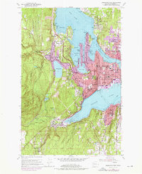
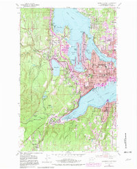
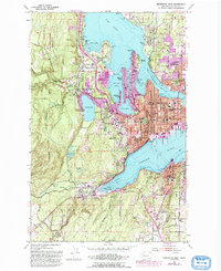
Editions of this 1953 Bremerton West Map
5 editions found
Other maps of this area

1936 · Point Misery
USGS Topo · 1:62,500

1937 · Port Orchard
USGS Topo · 1:62,500

1938 · Allyn
USGS Topo · 1:62,500

1940 · Point Misery
USGS Topo · 1:62,500

1942 · Gig Harbor
USGS Topo · 1:62,500

1943 · Gig Harbor
USGS Topo · 1:62,500

1953 · Seabeck
USGS Topo · 1:24,000

1953 · Poulsbo
USGS Topo · 1:24,000

1953 · Burley
USGS Topo · 1:24,000

1953 · Bremerton West
USGS Topo · 1:24,000
Featured Places
- Bremerton, WA
- Port Orchard, WA
- Tracyton, WA
- East Port Orchard, Port Orchard
- Erlands Point-Kitsap Lake, WA