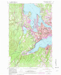
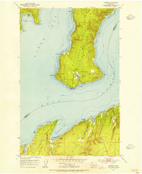
1953 Map of Bremerton West
USGS Topo · Published 1982About this map
Puget Sound Naval Shipyard dominates the Sinclair Inlet waterfront, reflecting the maritime and military foundation of this Kitsap County landscape during the early 1950s. The map illustrates a complex of naval infrastructure including the Naval Depot Junction and the expansive Camp Wesley Harris Rifle Range to the west. Residential growth is evident in the established neighborhoods of Bremerton, Charleston, and Navy Yard City, while educational institutions like Olympic College and Marion Ave Sch serve the expanding community.
Find a feature on this map
75 named features on this map. Tap any name to fly to it.
Don’t see what you’re looking for? This feature index may not catch every label — zoom into the map to look around manually.
Map Details
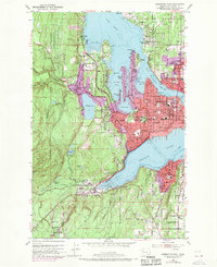
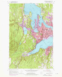
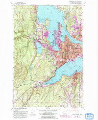
Editions of this 1953 Bremerton West Map
5 editions found
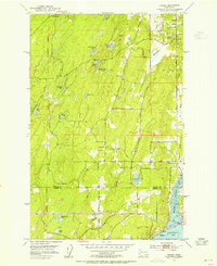
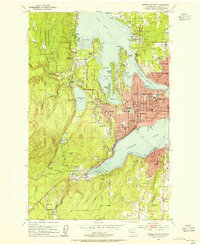
Other maps of this area

1936 · Point Misery
USGS Topo · 1:62,500

1937 · Port Orchard
USGS Topo · 1:62,500

1938 · Allyn
USGS Topo · 1:62,500

1940 · Point Misery
USGS Topo · 1:62,500

1942 · Gig Harbor
USGS Topo · 1:62,500

1943 · Gig Harbor
USGS Topo · 1:62,500
1953 · Seabeck
USGS Topo · 1:24,000
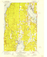
1953 · Poulsbo
USGS Topo · 1:24,000
1953 · Burley
USGS Topo · 1:24,000
1953 · Bremerton West
USGS Topo · 1:24,000
Featured Places
- Bremerton, WA
- Port Orchard, WA
- Tracyton, WA
- East Port Orchard, Port Orchard
- Erlands Point-Kitsap Lake, WA