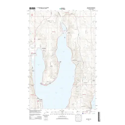
2014 Map of Quilcene
USGS Topo · Published 2014About this map
Quilcene Bay and Dabob Bay dominate this coastal survey, where the saltwater of Puget Sound meets the mouths of the Big Quilcene River and Little Quilcene River. The landscape is defined by its deep-water inlets and prominent landforms such as Bolton Peninsula and the larger Toandos Peninsula. Settlements like East Quilcene and Dabob are shown alongside marine-focused infrastructure, including the Herb Beck Marina and the Lingerlonger Boat Launch Ramp. Inland, the terrain is marked by a network of local roads like Dabob Rd and Coyle Rd, serving remote homesteads and sites like Bees Mill. The presence of Camp Discovery and Camp Harmony along the eastern shoreline of the bay reflects the area's long-standing use for recreation and coastal retreats within the Olympic Peninsula's maritime environment.
Find a feature on this map
82 named features on this map. Tap any name to fly to it.
Don’t see what you’re looking for? This feature index may not catch every label — zoom into the map to look around manually.
Map Details
Editions of this 2014 Quilcene Map
This is the sole edition of this map. No revisions or reprints were ever made.
Other maps of this area

1936 · Point Misery
USGS Topo · 1:62,500

1937 · Port Orchard
USGS Topo · 1:62,500

1937 · Port Gamble
USGS Topo · 1:62,500

1940 · Port Gamble
USGS Topo · 1:62,500

1940 · Point Misery
USGS Topo · 1:62,500

1940 · Quilcene
USGS Topo · 1:62,500

1953 · Seabeck
USGS Topo · 1:24,000

1953 · Poulsbo
USGS Topo · 1:24,000

1953 · Quilcene
USGS Topo · 1:24,000

1953 · Mt. Walker
USGS Topo · 1:24,000