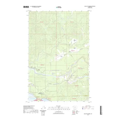
2020 Map of Quillayute Prairie
USGS Topo · Published 2020About this map
The Quillayute River basin dominates this coastal landscape, where the Sol Duc River and Bogachiel River converge to form the main stem. This region is characterized by its distinct prairie openings in a heavily forested environment, specifically the Quillayute Prairie and Little Quillayute Prairie, which provide a break in the terrain and historically served as centers for local activity. The settlement of Mora sits near the river's mouth, adjacent to the wild coastline of Olympic National Park.
Find a feature on this map
55 named features on this map. Tap any name to fly to it.
Don’t see what you’re looking for? This feature index may not catch every label — zoom into the map to look around manually.
Map Details
Editions of this 2020 Quillayute Prairie Map
This is the sole edition of this map. No revisions or reprints were ever made.
Other maps of this area

1935 · Ozette Lake
USGS Topo · 1:62,500

1935 · Lake Pleasant
USGS Topo · 1:62,500

1939 · Forks
USGS Topo · 1:62,500

1942 · Ozette Lake
USGS Topo · 1:62,500

1942 · Lake Pleasant
USGS Topo · 1:62,500

1943 · Copalis Beach
USGS Topo · 1:250,000

1951 · Copalis Beach
USGS Topo · 1:250,000

1953 · Cape Flattery
USGS Topo · 1:250,000

1956 · La Push
USGS Topo · 1:62,500

1956 · Ozette Lake
USGS Topo · 1:62,500